KENYA EXPERIENCE
Plan your trip
Laikipia County, Kenya

Ikweta

Ikweta means the Equator.

Laikipia County

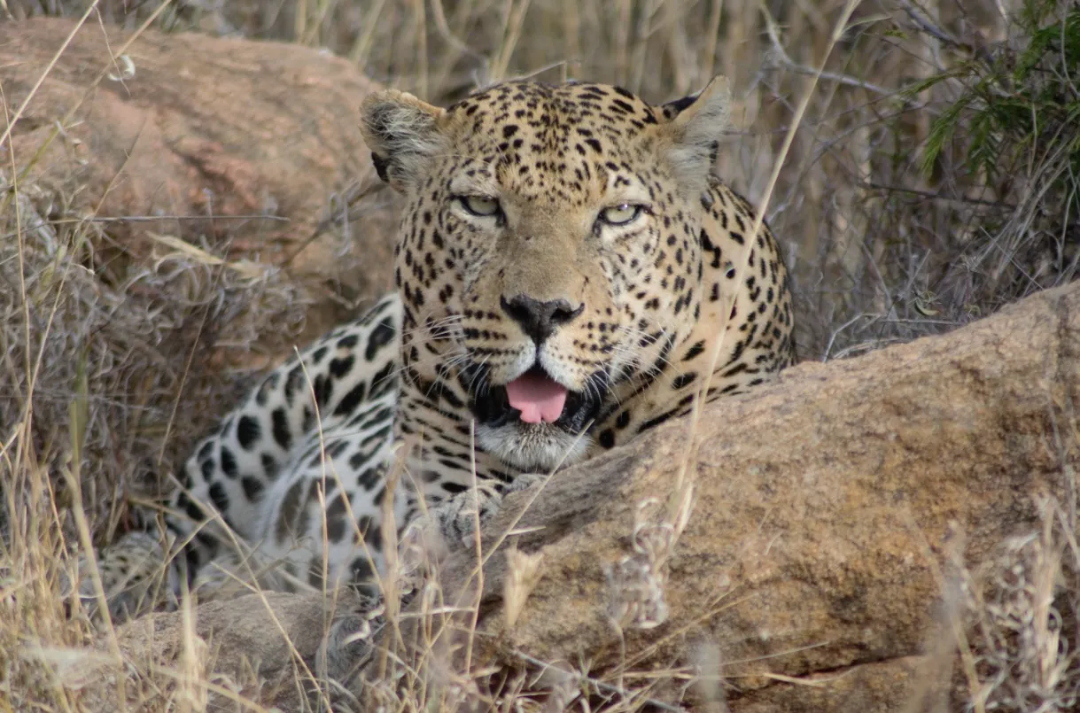
Private ranches and community conservancies cover more than half the county and support Big Five wildlife outside national parks.

Capital
Rumuruti
People
519k
Area
8,696 km²
Altitude
1,950 m

Laikipia is a high plateau on the Equator, framed by Mount Kenya and the Aberdares. Its name comes from a Maasai word for a treeless plain. About 23 communities live here, including Maasai, Samburu, Pokot, Turkana, Kikuyu and Meru.

Why it matters

Private ranches and community conservancies cover more than half the county and support Big Five wildlife outside national parks. Laikipia is a model for conservation on private and community land.

The economy

Livestock, wildlife tourism, grain and greenhouse horticulture lead, with trade in Nanyuki and Nyahururu.
Must-see in Laikipia

  • Ol Pejeta Conservancy

    East Africa's largest black rhino sanctuary and home of the last two northern white rhinos.

  • Sweetwaters Chimpanzee Sanctuary

    Inside Ol Pejeta, the only place in Kenya to see chimpanzees.

  • Thomson's Falls

    A 74-metre waterfall just outside Nyahururu.

  • Loisaba Conservancy

    57,000 acres of wilderness for game drives, horse riding and camel safaris.

  • Ol Lentille Conservancy

    A scenic private reserve known for African wild dogs.

  • Sosian Conservancy

    Home to the rare Jackson's hartebeest and over 350 bird species.

  • Mugie Conservancy

    A private reserve with strong birding and tented camps.

  • Nanyuki town

    An Equator town with craft shops selling carvings and stone sculpture.

Parks and wildlife in Laikipia

Peoples of Laikipia

Communities with a historic home in Laikipia. Today people from every part of Kenya live and work here.

Music, food and culture

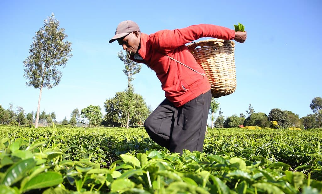
Maasai and Samburu beadwork and herding traditions sit alongside highland farm life. Community conservancies run cultural visits, and milk and meat remain central to the pastoral diet.

Best time to go

June–October and December–March are best for game viewing. April and May bring the long rains.

Laikipia and its neighbours. Tap a county or a place to read about it.

Loisaba ConservancyThomson's FallsOl Pejeta Conservancy

Hover a county or a dot. Click to open it. Locations are approximate.

Your questions

When is the best time to visit Laikipia?

June–October and December–March are best for game viewing. April and May bring the long rains.

What is Laikipia County known for?

Private ranches and community conservancies cover more than half the county and support Big Five wildlife outside national parks. Laikipia is a model for conservation on private and community land.

Where is Laikipia and what is its capital?

Laikipia is a high plateau on the Equator, framed by Mount Kenya and the Aberdares. Its name comes from a Maasai word for a treeless plain. About 23 communities live here, including Maasai, Samburu, Pokot, Turkana, Kikuyu and Meru. The county capital is Rumuruti, and the 2019 census counted 518,560 people across about 8,696 square kilometres.

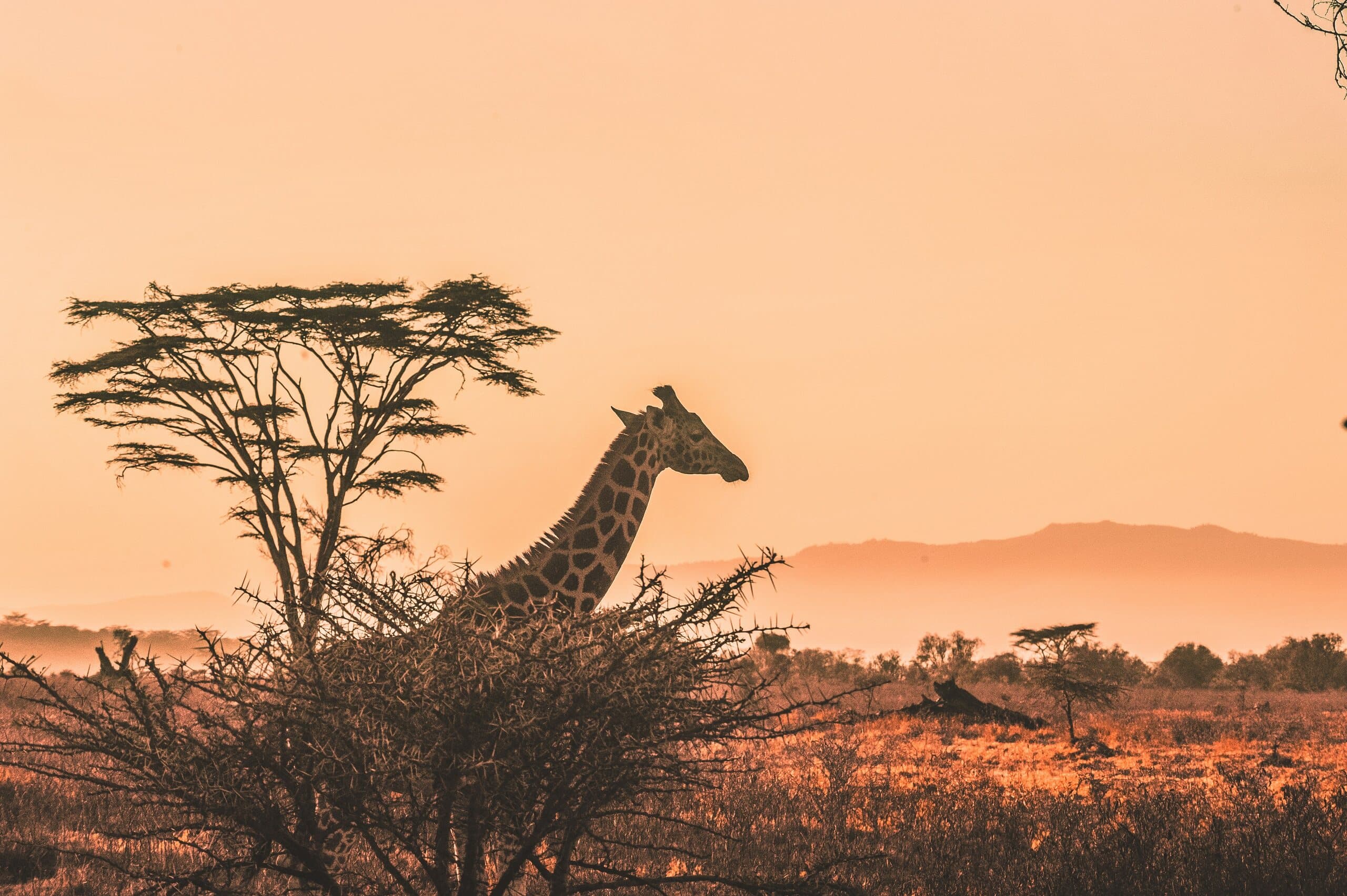
A giraffe and acacia tree silhouetted against a Kenyan sunset

Put Laikipia on your map.

A Kenya specialist replies within two business days with dates, lodges and flights from the USA.

Book a trip