KENYA EXPERIENCE
Plan your trip
Taita-Taveta County, Kenya

Milima

Milima means hills.

Taita-Taveta County

The county safeguards much of the Tsavo ecosystem, Kenya's largest protected area.

Capital
Mwatate
People
341k
Area
17,084 km²
Altitude
800 m

Taita-Taveta stretches from the misty Taita Hills to the Tanzanian border below Kilimanjaro. Tsavo East and Tsavo West National Parks cover about 62% of its land. The Taita and Taveta peoples live mainly around Voi, Wundanyi, Mwatate and Taveta.

Why it matters

The county safeguards much of the Tsavo ecosystem, Kenya's largest protected area. The Taita Hills belong to the Eastern Arc range, with species found nowhere else.

The economy

Wildlife tourism, ranching and sisal estates lead, with horticulture in the cool hills and small-scale gemstone mining.
Must-see in Taita-Taveta

  • Tsavo West National Park

    Volcanic landscapes, the clear pools of Mzima Springs and the Ngulia Rhino Sanctuary.

  • Tsavo East National Park

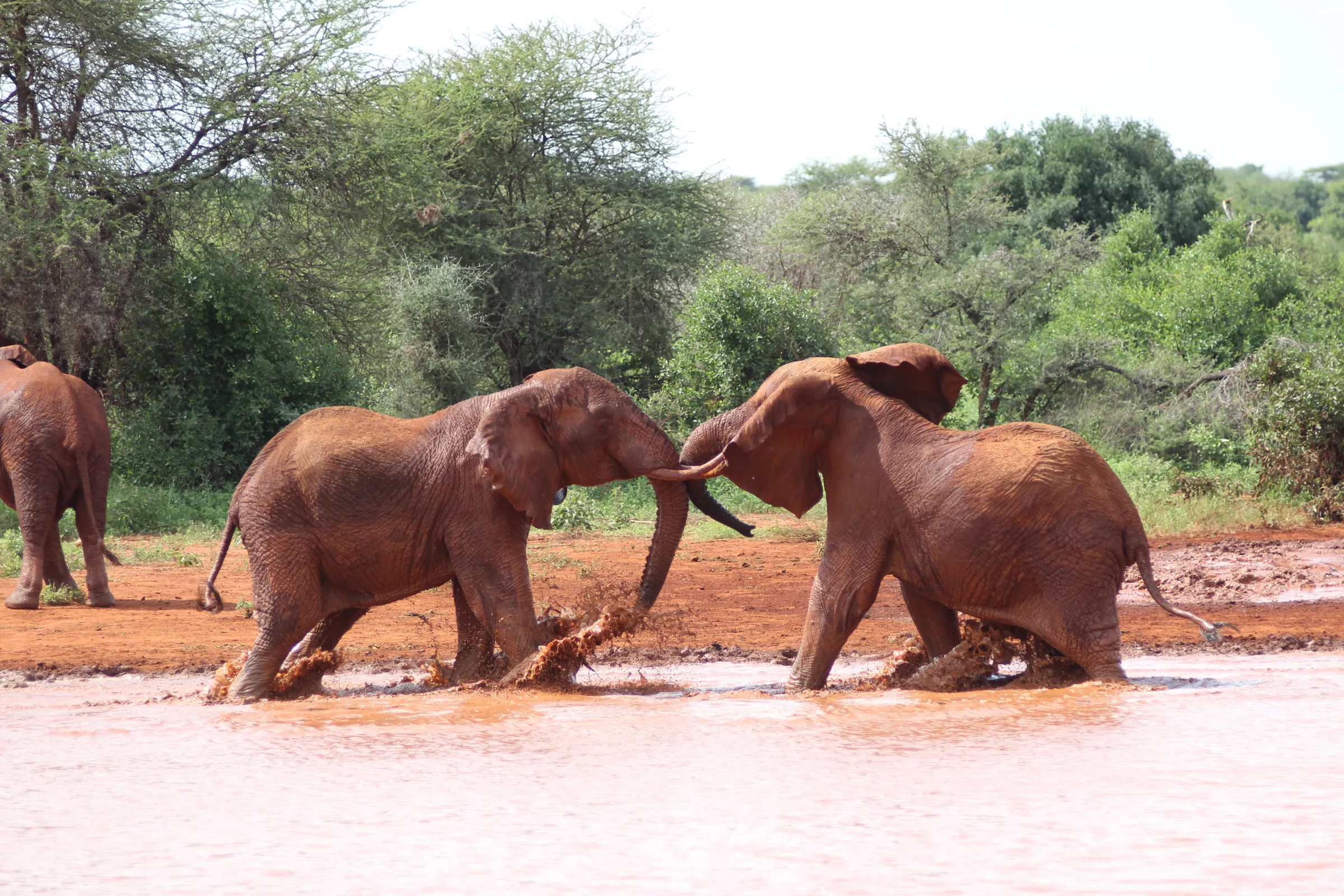
    Vast plains, red-dusted elephants, Mudanda Rock and Lugard Falls.

  • Lake Chala

    A deep turquoise crater lake on the Tanzanian border.

  • Lake Jipe

    A reed-fringed border lake below Kilimanjaro and the Pare Mountains.

  • Taita Hills cloud forests

    Forests such as Ngangao, with endemic birds and wide views.

  • Taita Hills and Lumo sanctuaries

    Private conservancies with lodges such as Salt Lick.

  • Taita Skull Caves

    Rock shelters where ancestral skulls were traditionally placed.

  • Taveta war sites

    Salaita Hill and war graves from the World War I East Africa campaign.

Parks and wildlife in Taita-Taveta

Peoples of Taita-Taveta

Communities with a historic home in Taita-Taveta. Today people from every part of Kenya live and work here.

Music, food and culture

The Taita speak Kidawida and traditionally honour ancestors at skull shrines. Their Mwazindika dance, performed at rites of passage and harvests, has received UNESCO intangible heritage recognition. Local food blends highland produce with coastal Swahili flavours.

Best time to go

June to October is the dry season, when Tsavo's animals gather at water. January and February are also good.

Taita-Taveta and its neighbours. Tap a county or a place to read about it.

Tsavo West National ParkTsavo East National ParkLake ChalaTaita Hills cloud forests

Hover a county or a dot. Click to open it. Locations are approximate.

Your questions

When is the best time to visit Taita-Taveta?

June to October is the dry season, when Tsavo's animals gather at water. January and February are also good.

What is Taita-Taveta County known for?

The county safeguards much of the Tsavo ecosystem, Kenya's largest protected area. The Taita Hills belong to the Eastern Arc range, with species found nowhere else.

Where is Taita-Taveta and what is its capital?

Taita-Taveta stretches from the misty Taita Hills to the Tanzanian border below Kilimanjaro. Tsavo East and Tsavo West National Parks cover about 62% of its land. The Taita and Taveta peoples live mainly around Voi, Wundanyi, Mwatate and Taveta. The county capital is Mwatate, and the 2019 census counted 340,671 people across about 17,084 square kilometres.

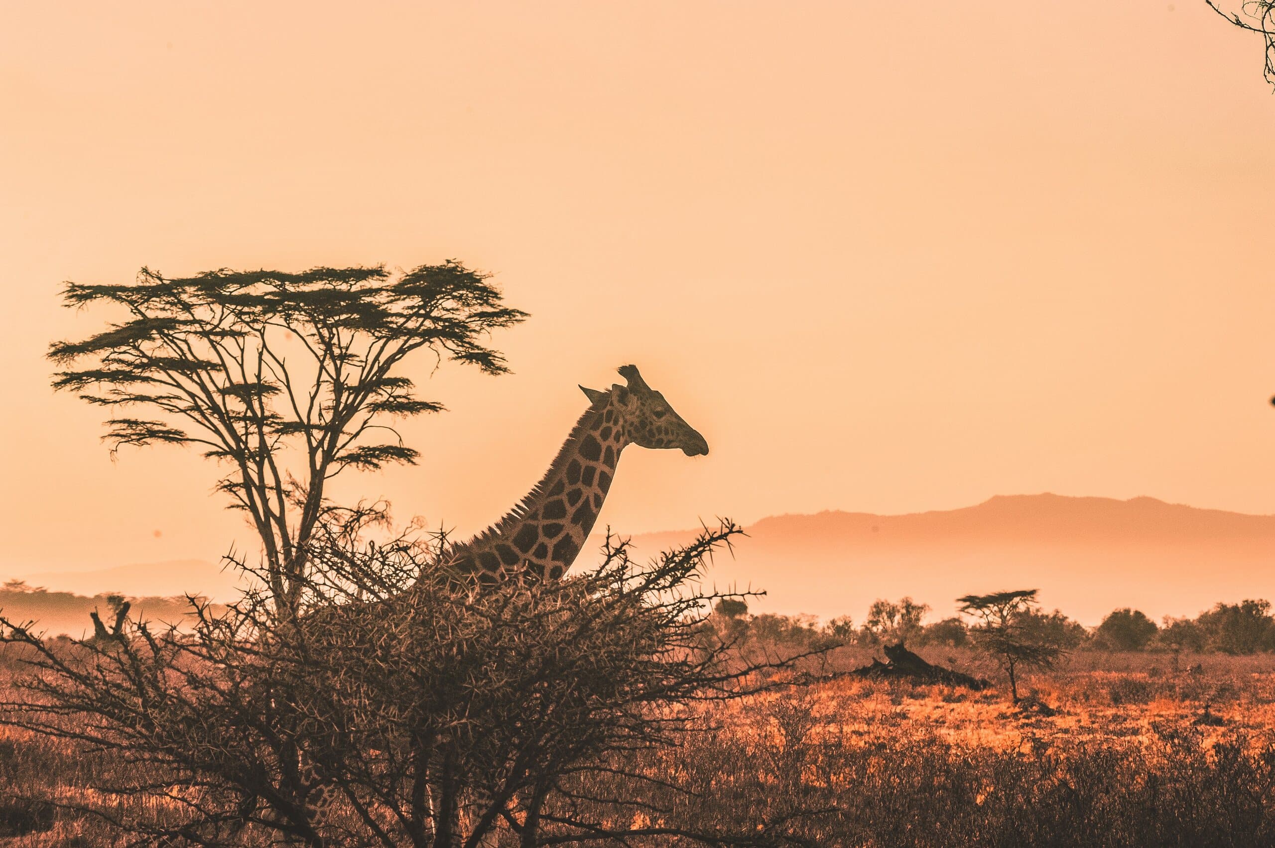
A giraffe and acacia tree silhouetted against a Kenyan sunset

Put Taita-Taveta on your map.

A Kenya specialist replies within two business days with dates, lodges and flights from the USA.

Book a trip