KENYA EXPERIENCE
Plan your trip
Kilifi County, Kenya

Kasa

Kasa means turtle.

Kilifi County

Vasco da Gama landed at Malindi in 1498, and his pillar still stands.

Capital
Kilifi
People
1.5M
Area
12,246 km²
Altitude
20 m

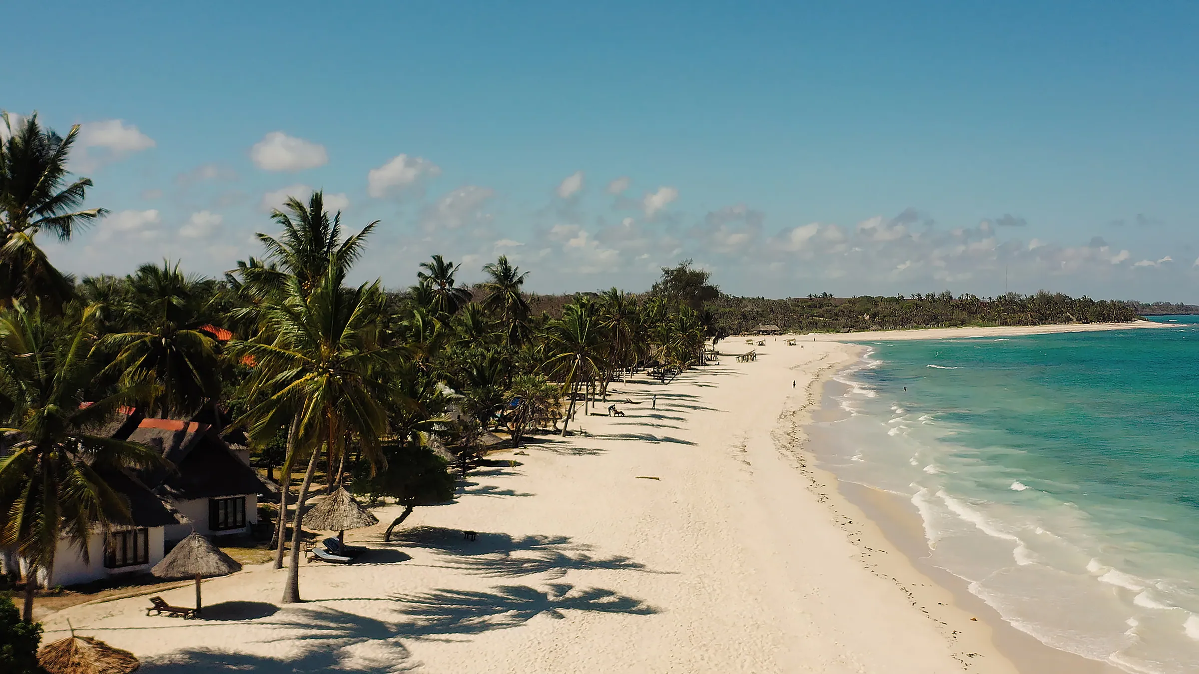
Kilifi covers the north coast between Mombasa and the Tana Delta, with creeks, beaches and coastal forest. It is the heartland of the Mijikenda, especially the Giriama. Malindi is its largest town and Watamu its relaxed beach village.

Why it matters

Vasco da Gama landed at Malindi in 1498, and his pillar still stands. Kilifi also holds most of UNESCO's sacred Mijikenda kaya forests.

The economy

Farming, tourism and fishing lead. Crops include cashews, coconuts, sisal, pineapples and mangoes, and gypsum and limestone are mined.
Must-see in Kilifi

  • Gede Ruins

    A forest-shrouded Swahili town of the 13th–17th centuries, with a palace and Great Mosque.

  • Arabuko-Sokoke Forest

    The largest surviving East African coastal forest, home to the golden-rumped elephant shrew.

  • Watamu Marine National Park

    Coral reefs, turtles and colourful fish just off Watamu's bays.

  • Mida Creek

    A mangrove-lined tidal creek with a boardwalk loved by birdwatchers.

  • Vasco da Gama Pillar, Malindi

    A national monument from 1499 and Malindi's top heritage site.

  • Malindi Marine National Park

    Reefs and turtles off Kenya's original resort town.

  • Marafa Depression (Hell's Kitchen)

    Eroded sandstone canyons glowing red and orange at sunset.

  • Mnarani Ruins

    Mosque and tomb ruins overlooking Kilifi Creek.

Parks and wildlife in Kilifi

Peoples of Kilifi

Communities with a historic home in Kilifi. Today people from every part of Kenya live and work here.

Music, food and culture

The nine Mijikenda sub-groups share clan and age-set traditions celebrated with drumming and dance. Coastal Swahili food is everywhere, from seafood and coconut curries to mahamri with chai.

Best time to go

October to January offers clear water for snorkelling. June to September is dry and sunny, while mid-March to May is wet.

Kilifi and its neighbours. Tap a county or a place to read about it.

Marafa Depression (Hell's Kitchen)Vasco da Gama Pillar, MalindiGede RuinsArabuko-Sokoke ForestWatamu Marine National Park

Hover a county or a dot. Click to open it. Locations are approximate.

Your questions

When is the best time to visit Kilifi?

October to January offers clear water for snorkelling. June to September is dry and sunny, while mid-March to May is wet.

What is Kilifi County known for?

Vasco da Gama landed at Malindi in 1498, and his pillar still stands. Kilifi also holds most of UNESCO's sacred Mijikenda kaya forests.

Where is Kilifi and what is its capital?

Kilifi covers the north coast between Mombasa and the Tana Delta, with creeks, beaches and coastal forest. It is the heartland of the Mijikenda, especially the Giriama. Malindi is its largest town and Watamu its relaxed beach village. The county capital is Kilifi, and the 2019 census counted 1,453,787 people across about 12,246 square kilometres.

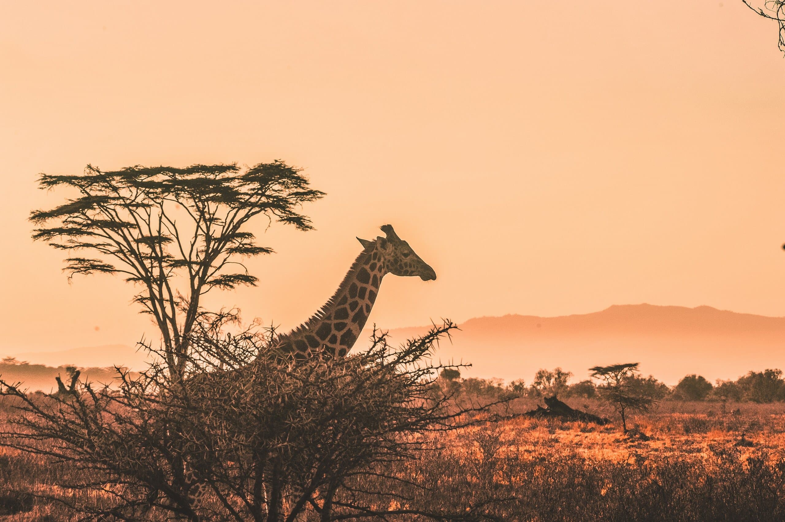
A giraffe and acacia tree silhouetted against a Kenyan sunset

Put Kilifi on your map.

A Kenya specialist replies within two business days with dates, lodges and flights from the USA.

Book a trip