KENYA EXPERIENCE
Plan your trip
Kakamega County, Kenya

Msitu

Msitu means forest.

Kakamega County

Kakamega Forest is the last piece of Kenya's Guineo-Congolian rainforest.

Capital
Kakamega
People
1.9M
Area
3,034 km²
Altitude
1,550 m

Kakamega lies in the well-watered heart of Western Kenya below the Nandi Escarpment. It is home to Luhya sub-groups including the Isukha, Idakho, Kabras, Tiriki and Wanga, whose historic kingdom was based at Mumias.

Why it matters

Kakamega Forest is the last piece of Kenya's Guineo-Congolian rainforest. The county's Isukuti dance is on UNESCO's list of heritage in need of urgent safeguarding.

The economy

Mixed farming leads, with maize, beans, dairy, poultry and sugarcane around Mumias and Butere. Tea grows on the eastern uplands, and small-scale gold mining continues around Ikolomani.
Must-see in Kakamega

  • Kakamega Forest National Reserve

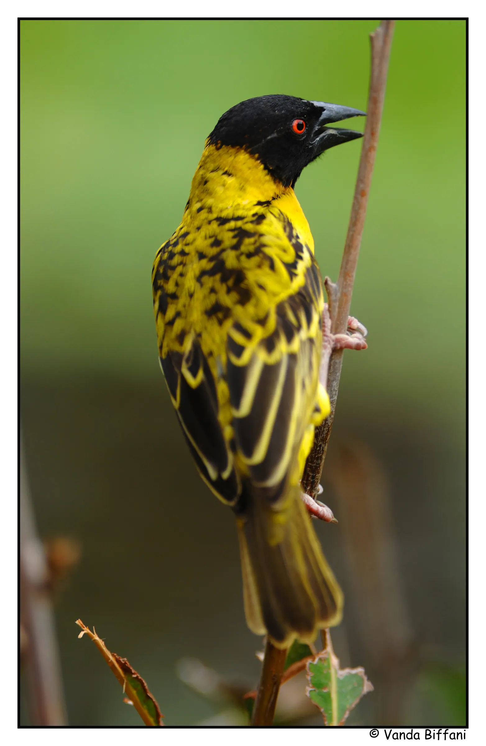
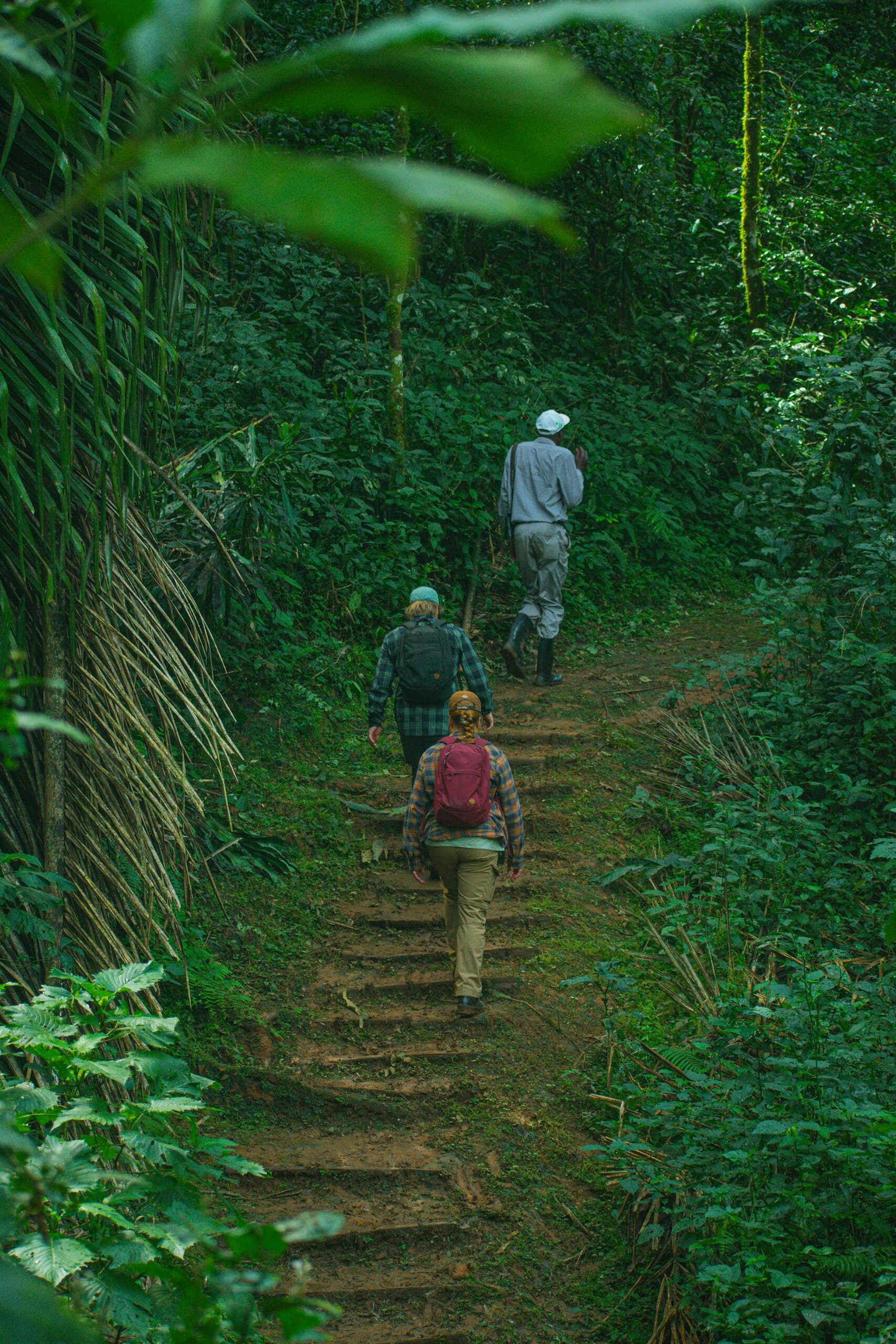
    Kenya's only tropical rainforest, with De Brazza's monkeys, hundreds of bird species and 380+ tree species.

  • Buyangu Hill

    The forest's highest point, a classic sunrise hike above the canopy.

  • Crying Stone of Ilesi

    A famous rock formation in Shinyalu, once known for water running down its face.

  • Nabongo Cultural Centre, Matungu

    The story of the Wanga Kingdom and its Nabongo kings.

  • Malinya Stadium bullfights

    Isukha and Idakho bullfighting draws huge, noisy crowds.

  • Lirhanda Hill and caves

    Bat-filled caves and forest views from the summit.

  • Mawe Tatu

    Three granite outcrops for a short hike with wide views.

  • Ilesi Pottery Project

    Watch potters shape traditional earthenware.

Parks and wildlife in Kakamega

Peoples of Kakamega

Communities with a historic home in Kakamega. Today people from every part of Kenya live and work here.

Music, food and culture

Isukuti drumming and dance, played on three drums with a horn and rattles, mark births, weddings and funerals. Bullfighting is a prized Isukha and Idakho tradition, and the Wanga still honour their Nabongo king. Chicken (ingokho) with ugali is the dish of honour.

Best time to go

April to July, when the forest is lush and flowering. Expect rain, so pack waterproofs.

Kakamega and its neighbours. Tap a county or a place to read about it.

Kakamega Forest National ReserveCrying Stone of Ilesi

Hover a county or a dot. Click to open it. Locations are approximate.

Your questions

When is the best time to visit Kakamega?

April to July, when the forest is lush and flowering. Expect rain, so pack waterproofs.

What is Kakamega County known for?

Kakamega Forest is the last piece of Kenya's Guineo-Congolian rainforest. The county's Isukuti dance is on UNESCO's list of heritage in need of urgent safeguarding.

Where is Kakamega and what is its capital?

Kakamega lies in the well-watered heart of Western Kenya below the Nandi Escarpment. It is home to Luhya sub-groups including the Isukha, Idakho, Kabras, Tiriki and Wanga, whose historic kingdom was based at Mumias. The county capital is Kakamega, and the 2019 census counted 1,867,579 people across about 3,034 square kilometres.

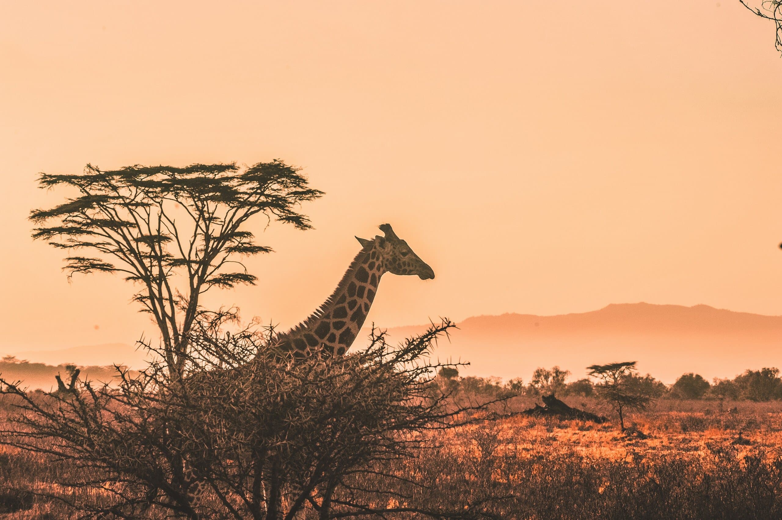
A giraffe and acacia tree silhouetted against a Kenyan sunset

Put Kakamega on your map.

A Kenya specialist replies within two business days with dates, lodges and flights from the USA.

Book a trip