Hiking. Updated November 2026. 4 min read.
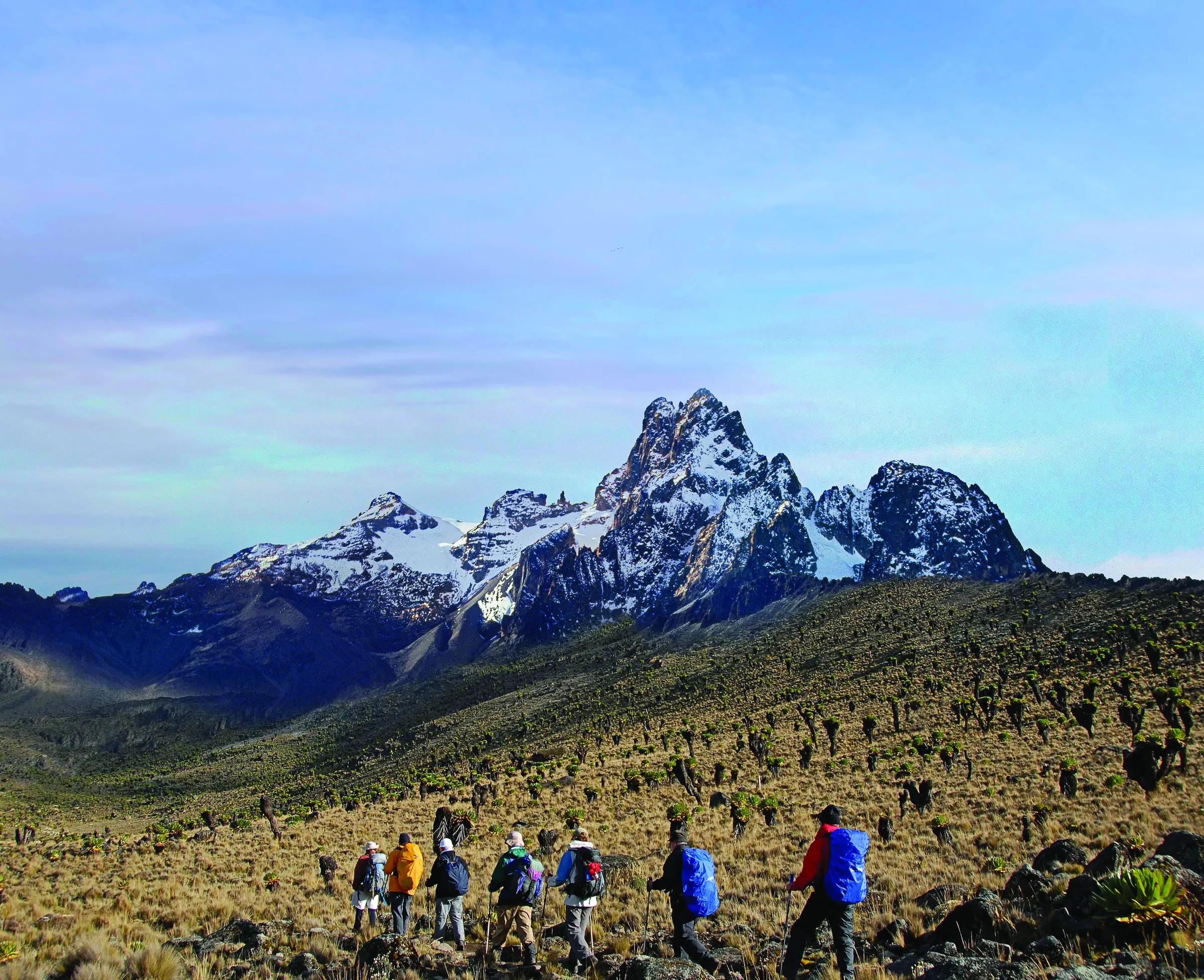
The Chogoria route is the reason people who have climbed Mount Kenya keep talking about it. From the east side of the mountain it climbs through farmland and thick bamboo forest, past the crater lake of Lake Ellis, and along the rim of the Gorges valley, a deep glacial trench with Lake Michaelson lying at the bottom under a cliff called the Temple. Many guides call it the most beautiful valley on the mountain, and they are not exaggerating.
The direct answer: Chogoria takes about five days and is usually walked as the descent of a traverse that goes up the Sirimon route and down this side. You can also climb it, with a gentle start and a high camp at Mintos by the Hall tarns. Either way you need a registered guide, porters and a 4x4 for the forest road. For a comparison of all three routes, see our climbing guide; this page is Chogoria in detail.
The traverse: up Sirimon, down Chogoria
| Day | Section | Sleep at |
|---|---|---|
| Day 1 | Sirimon Gate (2,650 m) to Old Moses | Old Moses, 3,300 m |
| Day 2 | Old Moses to Liki North or straight up the Mackinder valley | Liki North (about 4,000 m) or Shipton's (4,200 m) |
| Day 3 | To Shipton's, with an afternoon acclimatization walk | Shipton's, 4,200 m |
| Day 4 | Point Lenana (4,985 m) at sunrise, then down past Simba Col and Square tarn to the Hall tarns | Mintos camp, about 4,300 m |
| Day 5 | Along the Gorges valley rim and down through the moorland and forest to the Chogoria gate, then by 4x4 to Chogoria town | Chogoria or onward |
Climbing Chogoria
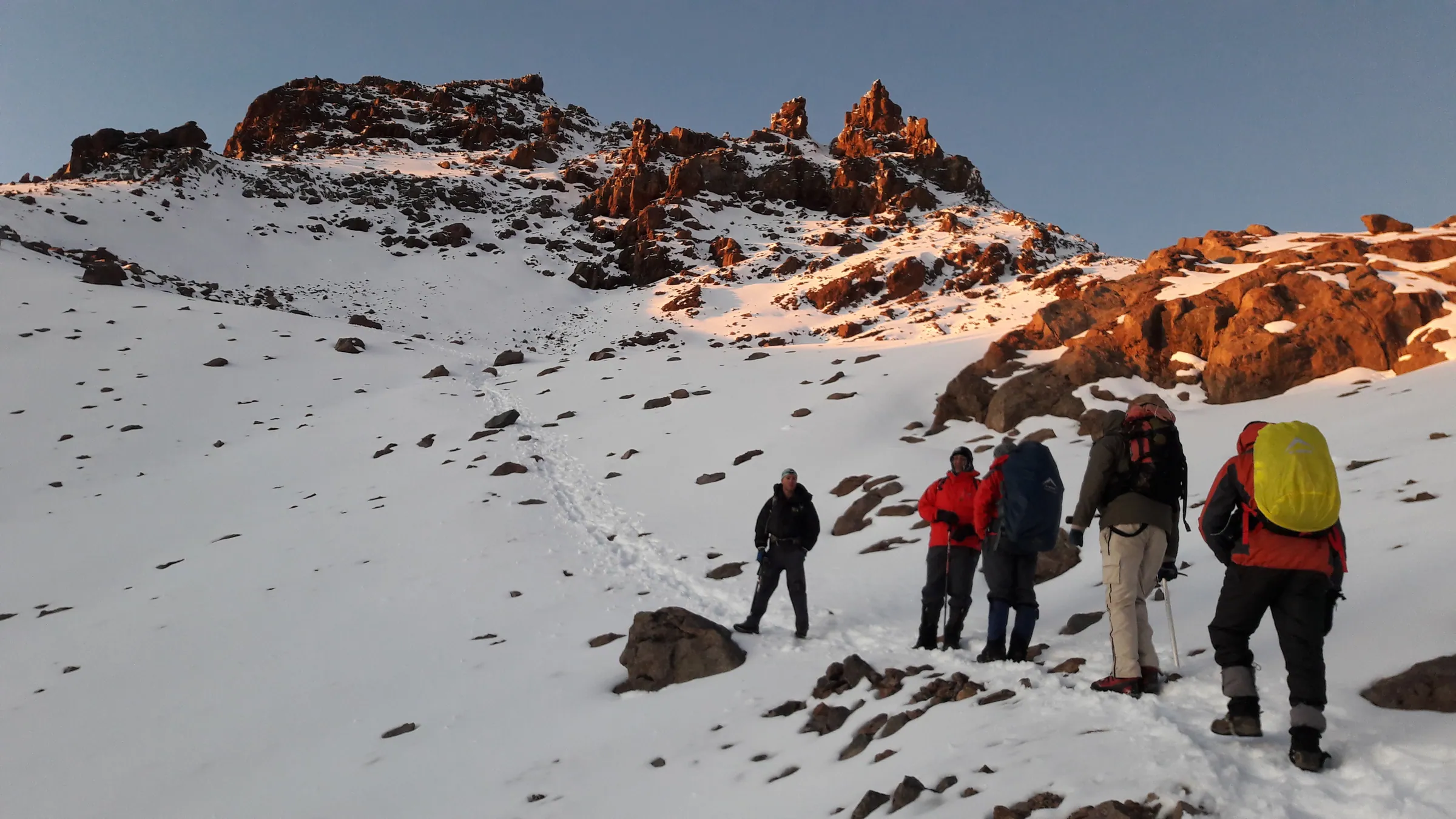
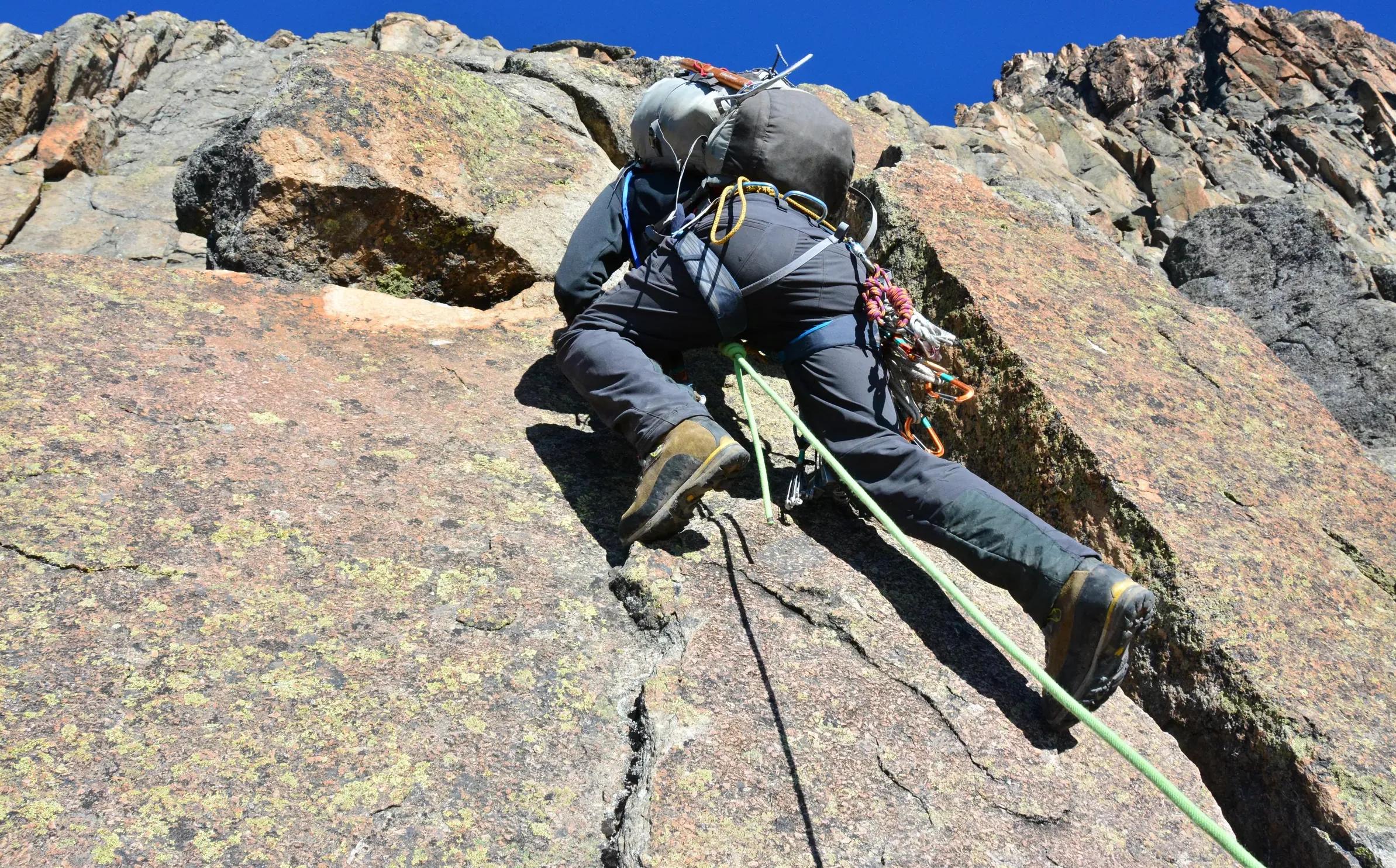
Walked upward, Chogoria is a fine acclimatization route because it starts gently. Day one is the drive from Chogoria town up a long, rough road through farms and forest to the park gate, at about 2,950 meters, where there are bandas and a campsite; in the rain this road can be slow even in a 4x4. Day two climbs out of the forest onto the moorland and passes Lake Ellis, at about 3,460 meters, a quiet lake in an old crater with a campsite on its shore. Day three follows the rim of the Gorges valley to Mintos camp, by the Hall tarns at about 4,300 meters. Day four is the summit push to Point Lenana before dawn, with a descent to Shipton's or Mackinder's on the far side, and day five takes you off the mountain by the Sirimon or Naro Moru route.
Because the road climbs so high, the first night is already close to 3,000 meters, so a gentle first afternoon and plenty of water matter. Chogoria's day three is short; use the spare hours for a slow walk above camp and back, the climb-high, sleep-low habit that helps your body adapt.
What makes it the scenic side
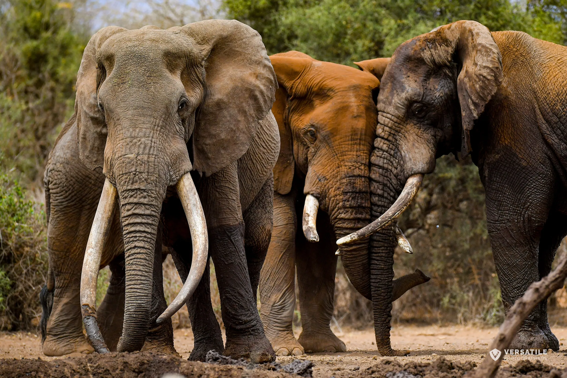
- The bamboo zone: on the east side, the forest is wetter and denser than on Sirimon, with tall bamboo arching over the track and fresh signs of elephant and buffalo.
- Lake Ellis: a still crater lake on open moorland, good for a lunch stop or a quiet night.
- The Gorges valley: a long U-shaped valley carved by ice, with sheer walls and waterfalls after rain.
- Lake Michaelson and the Temple: a dark lake far below the trail, under a vertical rock wall.
- The Hall tarns: small lakes on a shelf above the Gorges valley, by Mintos camp, with views straight down to Lake Michaelson.
- The peaks: on clear mornings, Batian and Nelion rise above the head of the valley.
Fees, guides and the crew
Chogoria is inside Mount Kenya National Park, run by Kenya Wildlife Service. At the time of writing, the non-resident fee is about $80 per adult per day, with separate rates for climbing packages, paid through KWS on eCitizen; our park fees page has the current table. KWS requires climbers to go with a registered guide, and you sign in at the gate. On a traverse, your operator also arranges the 4x4 that meets you at the Chogoria gate and the transfer back around the mountain, which is a long drive, so check it is in the quote. Porters carry the main bags, and a cook comes with camping groups; tip the crew at the end, and see our tipping guide for the usual amounts.
Weather and safety
The east side catches more rain than the north-west. Even in the dry seasons, mornings are often clear and cloud rolls up the Gorges valley by midday, so start early and keep your rain jacket at the top of your pack. In the rainy months, roughly March to May and late October to December, the forest road becomes very hard going, the trail is slippery and the views can disappear for days.
- Altitude: Mintos and the Hall tarns are at about 4,300 meters. Report every headache to your guide, and go down if symptoms get worse.
- Cold: nights at Mintos are below freezing; bring a sleeping bag rated well below zero Celsius and a proper down jacket.
- The valley rim: parts of the trail run close to steep drops above the Gorges valley. Stay on the path in mist.
- Wildlife in the forest: elephants and buffalo are present. Follow your guide, keep quiet and never approach them.
- Insurance: buy a policy that covers trekking to 5,000 meters, with evacuation.
Our altitude page explains the symptoms of altitude sickness, safe ascent rates and Diamox.
Getting there and combining it
Chogoria town is on the east side of the mountain, between Embu and Meru, about four hours or more by road from Nairobi. On the traverse you start from Nanyuki on the other side, so you finish far from where you began; your operator handles the transfer. After the climb, Meru National Park and the conservancies of Laikipia and Samburu are within a day's drive, which makes Chogoria a good way to end a trek and start a safari.