Hiking. Updated November 2026. 4 min read.
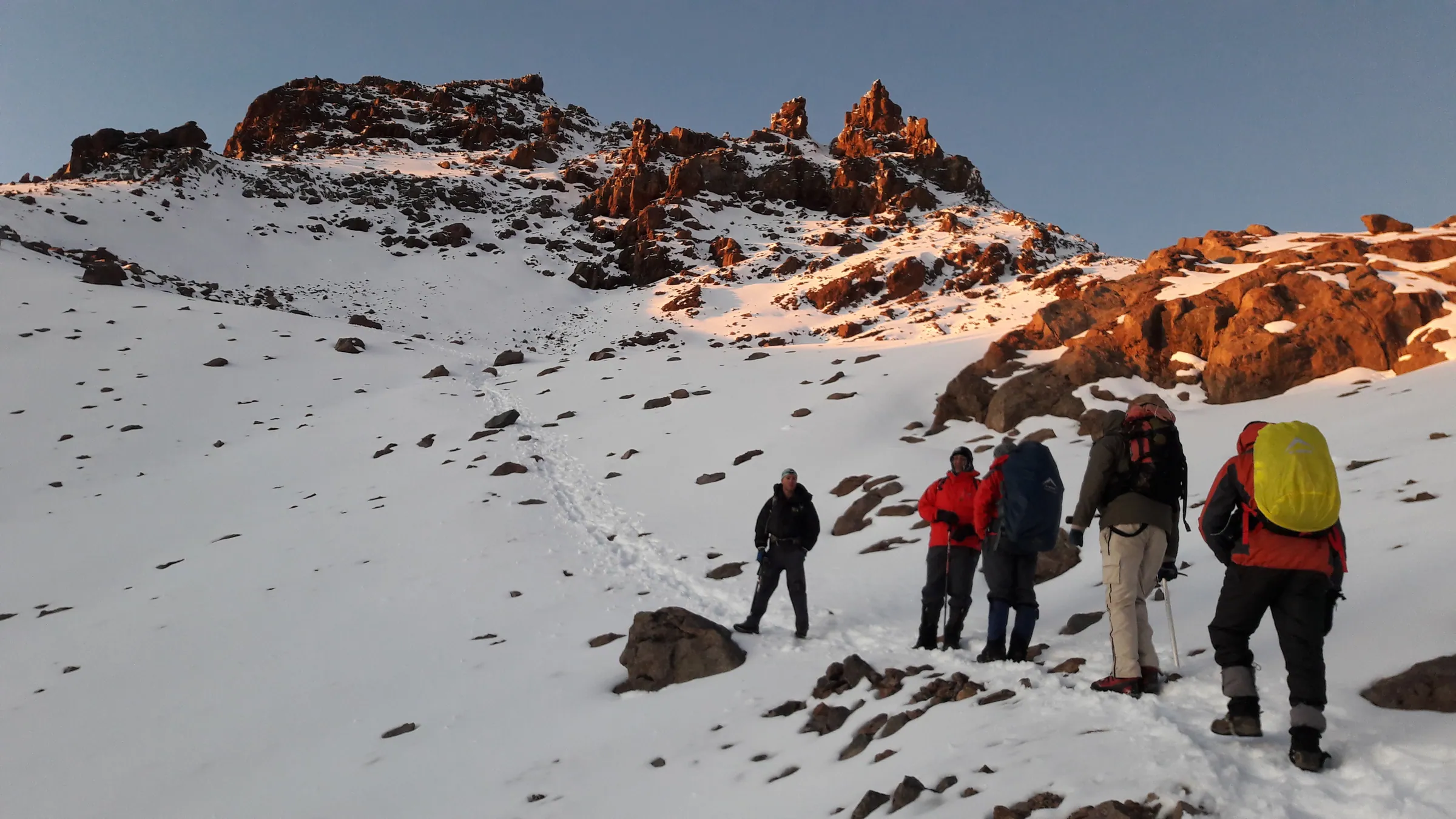
Naro Moru is the shortest line to the top of Mount Kenya, and that is both its appeal and its problem. From the western side it climbs through forest to the Met Station, across a steep, soaking stretch of moorland known to every guide as the vertical bog, and up the Teleki valley to Mackinder's camp under the south-west face of Batian. You can be on Point Lenana on day three. Your body may not thank you for it.
The direct answer: Naro Moru takes three to four days. Because it gains height so fast, it has the highest rate of altitude sickness of the three main routes, so we strongly recommend an extra acclimatization night, at the Met Station or at Mackinder's. Many people use it to come down after climbing Sirimon, which gives the best of both. To choose between routes, see our climbing guide; this page is Naro Moru in detail.
The route, day by day
| Day | Section | Distance and time | Sleep at |
|---|---|---|---|
| Day 1 | Naro Moru town to the park gate (about 2,400 m), then up the forest track to the Met Station | About 9 to 10 km, 3 to 4 hours from the gate | Met Station, 3,050 m |
| Day 2 | Acclimatization: a walk up toward the moorland and back down | 2 to 4 hours | Met Station, 3,050 m |
| Day 3 | Met Station through the vertical bog and up the Teleki valley | About 10 km, 5 to 7 hours | Mackinder's camp, 4,200 m |
| Day 4 | Start about 2am, past the Austrian hut (about 4,790 m) to Point Lenana for sunrise, then down to the Met Station | 4 to 5 hours up, 5 to 6 hours down | Met Station or Naro Moru town |
Why it is the route that makes people sick
Altitude doctors advise that, above 3,000 meters, you add no more than 300 to 500 meters of sleeping altitude a day. On the three-day Naro Moru climb you sleep at 3,050 meters on night one and 4,200 meters on night two, a jump of about 1,150 meters, then climb another 785 meters before dawn. That is why headaches, nausea and failed summit attempts are more common here than on Sirimon or Chogoria. It is not that the route is harder to walk; it is that it gives your body less time.
- Take the extra night at the Met Station, or a second night at Mackinder's with a walk higher in the afternoon.
- Better still, spend a few days on safari or in Nanyuki at 2,000 meters first.
- Or climb Sirimon and use Naro Moru for the descent, when its speed becomes a gift.
- Ask a travel clinic about acetazolamide (Diamox), and tell your guide about every headache.
The vertical bog and the Teleki valley
Above the Met Station, the track becomes a path through the last of the forest and then climbs straight up a slope of tussock grass and peat. In the rains it is a staircase of black mud and standing water; in the dry season it is merely wet. Gaiters, waterproof boots and walking poles make it far better. It takes two to three hours before the ground levels out and the path swings into the Teleki valley, named after the Hungarian explorer Count Samuel Teleki, who climbed here in 1887.
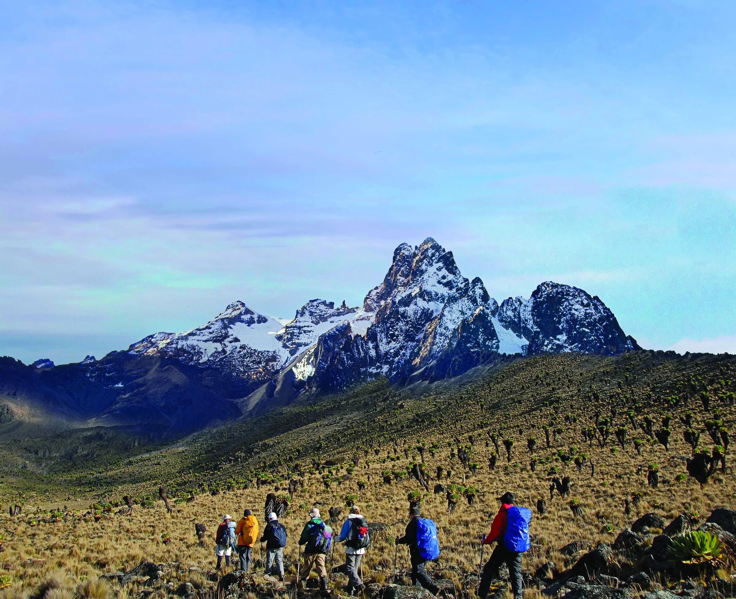
The Teleki valley is the finest part of the route: a long, open valley of giant groundsels and lobelias with the Teleki valley stream running down it and the great rock walls of Batian and Nelion at its head. Mackinder's camp sits at the top, named after Halford Mackinder, who made the first ascent of Batian in 1899 with the guides Cesar Ollier and Joseph Brocherel. Above it, a steep scree slope leads to the Austrian hut and the final ridge to Point Lenana.
For climbers: Nelion and Batian
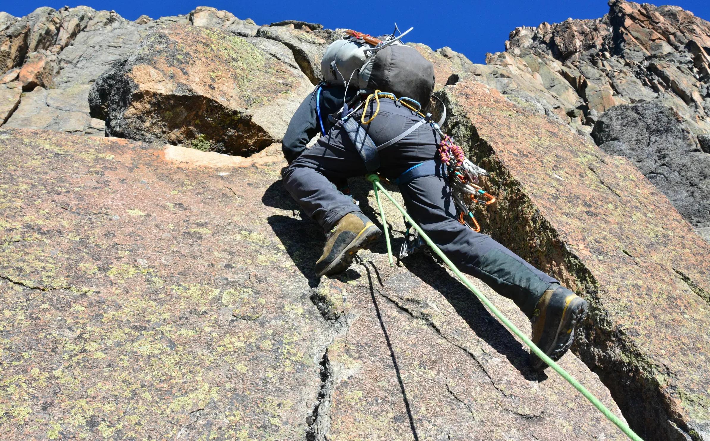
Naro Moru is also the approach for technical climbers. The normal route on Nelion, first climbed in 1929 by Eric Shipton and Percy Wyn-Harris, starts near the Austrian hut, and climbers usually spend nights at Mackinder's and the Austrian hut before the climb. These are serious rock routes at more than 5,000 meters and need a qualified mountaineering guide, a rope team and good acclimatization, not a trekking crew.
Fees, guides and where to stay
Mount Kenya National Park is run by Kenya Wildlife Service. At the time of writing, the non-resident fee is about $80 per adult per day, with separate rates for climbing packages, paid through KWS on eCitizen; our park fees page has the current table. KWS requires climbers to go with a registered guide, and you sign in at the gate. Porters carry the main bags, and a cook comes with camping groups. Choose an operator that pays its crew fairly and keeps loads reasonable, and tip at the end; our tipping guide has the usual amounts.
Naro Moru town lies on the main road between Nyeri and Nanyuki, about three hours from Nairobi. Naro Moru River Lodge, at the foot of the mountain, has long been the classic base for this route, and there are other lodges and guesthouses in Naro Moru and Nanyuki. Most climbers sleep there the night before and after.
Weather and safety
- Best months: January to February and late June to early October. In the long rains, roughly March to May, the bog is at its worst.
- Cold: Mackinder's and the Austrian hut are below freezing at night in every season. Bring a down jacket, gloves, a warm hat and a sleeping bag rated well below zero Celsius.
- Altitude: breathlessness at rest, confusion or stumbling are emergencies. Go down at once, with a guide.
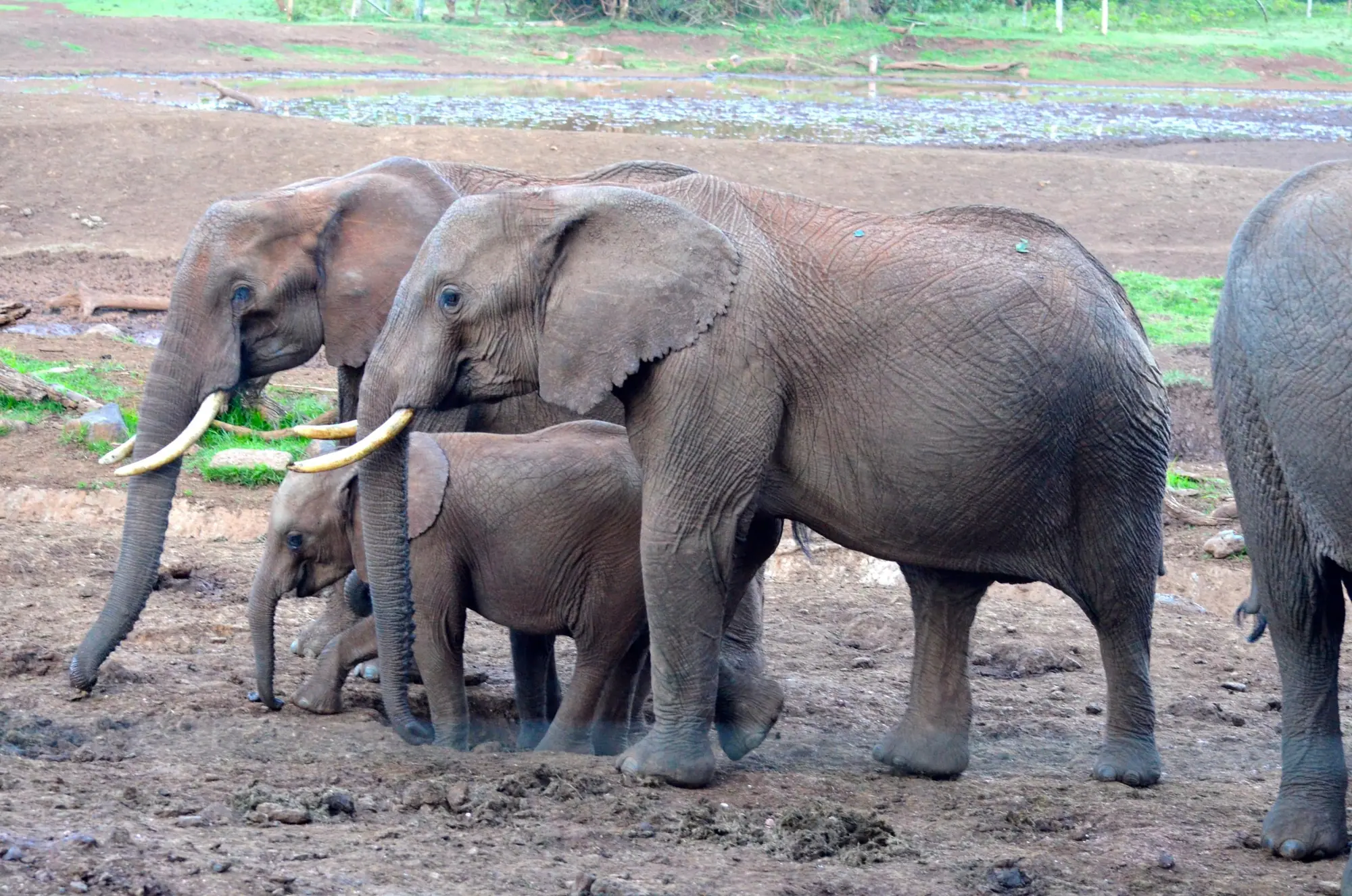
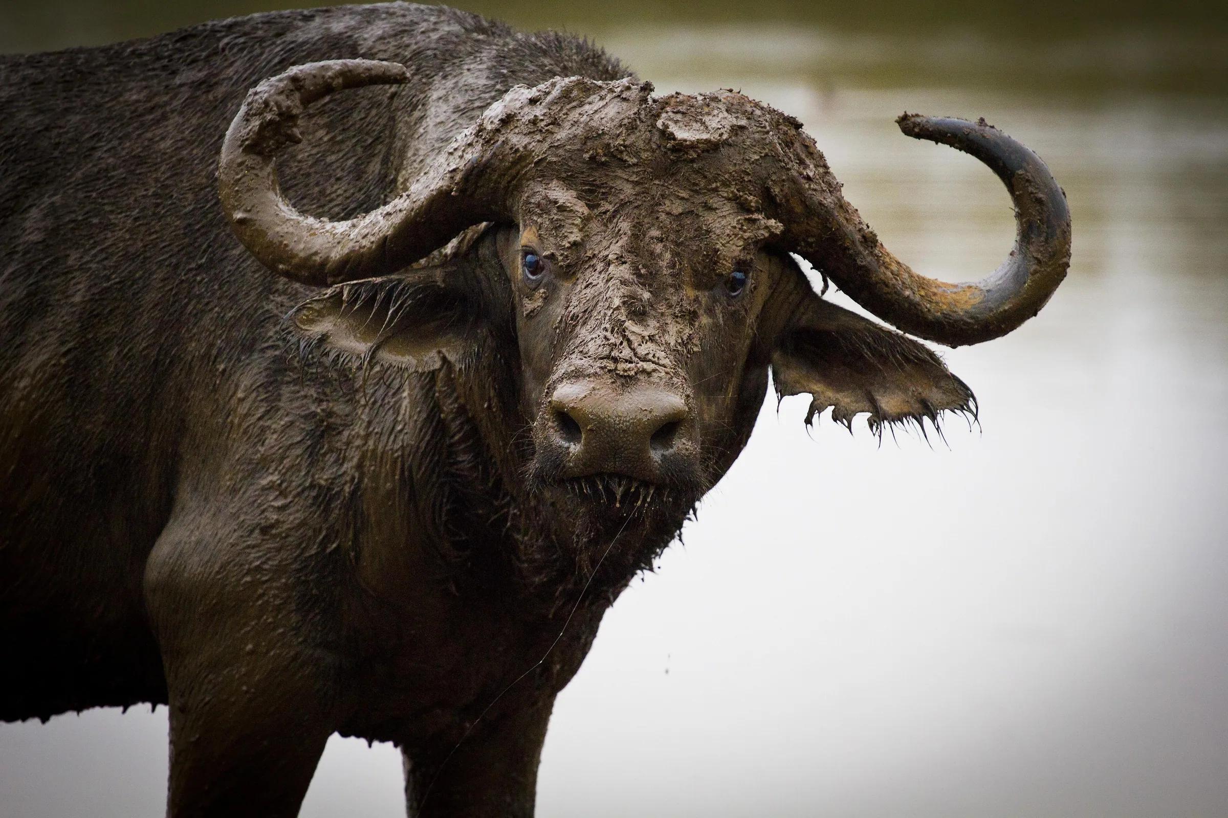
- Wildlife: buffalo and elephants live in the forest below the Met Station. Stay with your guide.
- Insurance: buy a policy that covers trekking to 5,000 meters, with evacuation.
Our altitude page explains the symptoms, safe schedules and Diamox in more depth.