Hiking. Updated November 2026. 4 min read.
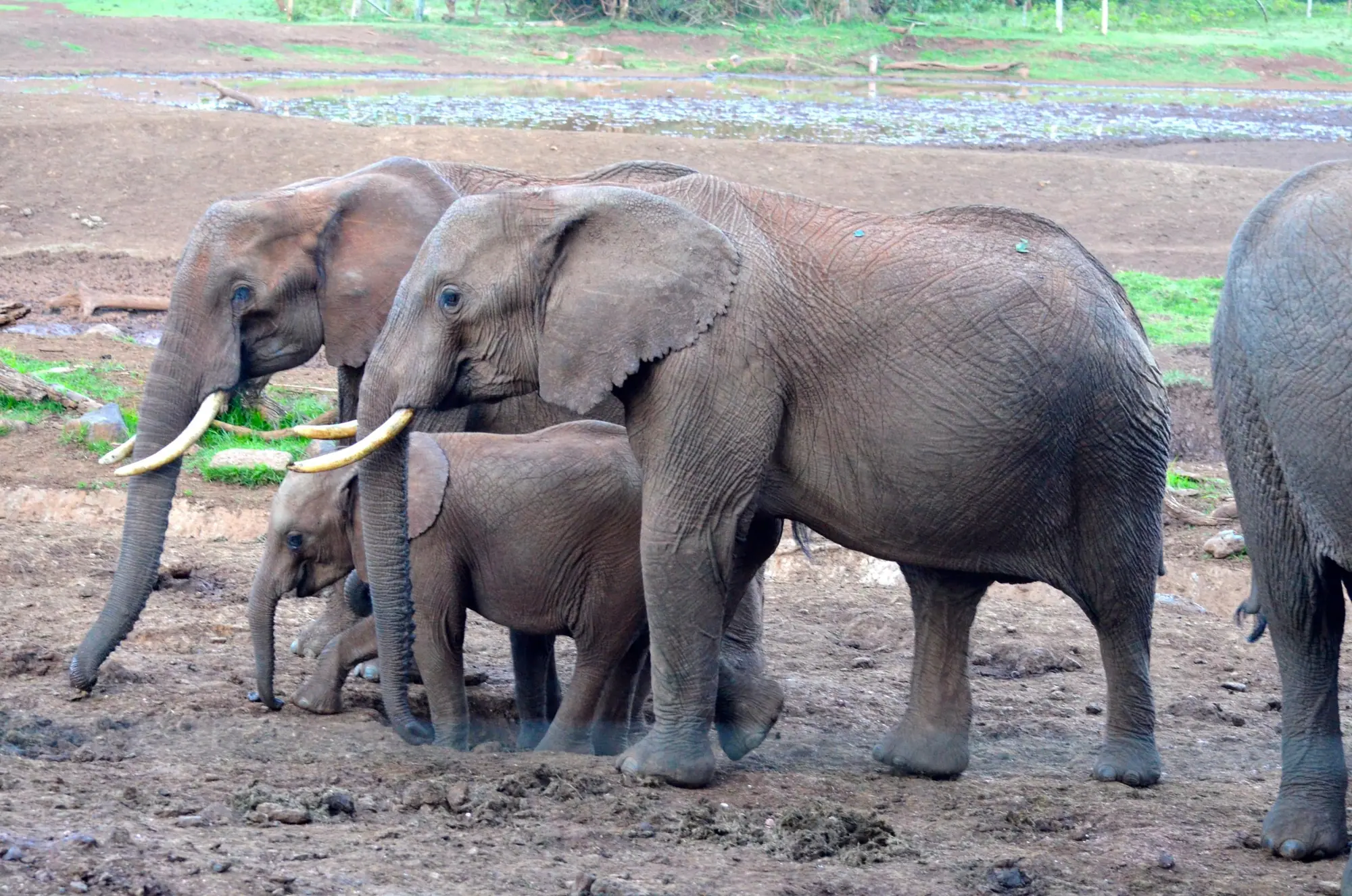
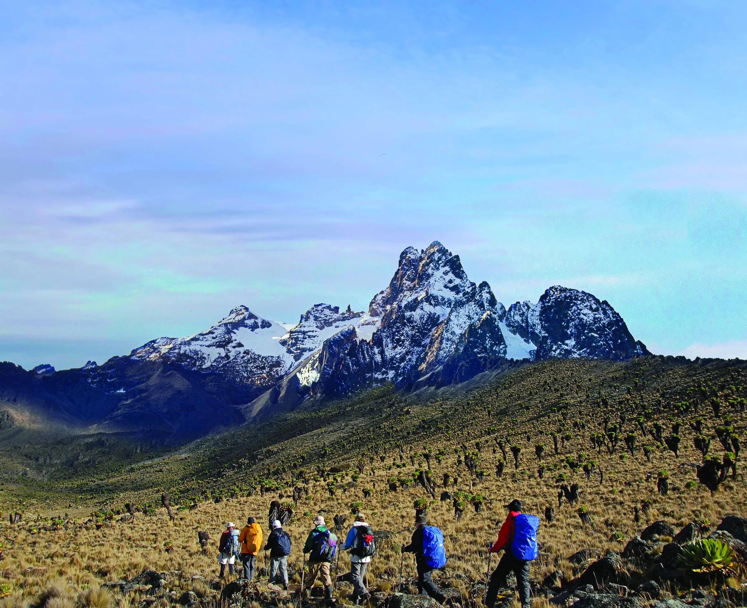
The Aberdares do not look like the Kenya on safari brochures. Above the forest lies a high, cold plateau of tussock grass, heather and giant lobelias, at 3,000 to 4,000 meters, cut by trout streams that tip over its edge in some of the tallest waterfalls in the country. Mist comes and goes in minutes. And because elephants, buffalo and even lions roam the moorland, you walk it with an armed ranger at your side.
The direct answer: the best Aberdare hikes are the short walks to Karuru, Gura and Chania falls, a summit walk up Ol Donyo Lesatima, and the long day up Elephant Hill on the southern side. Inside the national park you must book a KWS ranger escort in advance. Expect cold, expect rain at some point, and drive a 4x4. Our Aberdare National Park page covers the tree hotels and game viewing; this page is about walking.
The hikes
| Hike | Time | Difficulty | Good to know |
|---|---|---|---|
| Karuru Falls viewpoint | 1 to 2 hours | Easy | Kenya's tallest falls, about 273 m in three steps |
| Gura and Chania falls | 1 to 3 hours each | Easy to moderate | Gura plunges into a deep forested gorge; Chania is a lower, wider fall |
| The Dragon's Teeth | Half a day | Moderate | A jagged rocky ridge on the moorland, with a ranger |
| Ol Donyo Lesatima (Mount Satima) | 4 to 6 hours return from the moorland road | Moderate to hard | The range's highest point, 4,001 m |
| Elephant Hill | About 8 hours | Hard | About 3,650 m, from the Njabini side with a local guide |
The waterfalls
Karuru Falls drops about 273 meters in three steps off the edge of the moorland into the forest, and is usually listed as Kenya's tallest waterfall. A short path from the moorland road leads to viewpoints across the gorge. Gura Falls nearby plunges into a deep, forested ravine and is often half-hidden in its own spray. Chania Falls, lower and wider, is an easy walk from the road. All three are at their best after rain, which in the Aberdares is never far away.
Elephant Hill and Ol Donyo Lesatima
Elephant Hill, at about 3,650 meters, is the Aberdares' classic long day hike. The usual start is near Njabini, on the southern Kinangop side, and the trail climbs through farmland, bamboo and forest onto open moorland and up to the summit. It takes about eight hours up and down, gains well over 1,000 meters and is often cold, muddy and misty. Go with a local guide who knows the trail, start at first light and carry warm and waterproof layers.
Ol Donyo Lesatima, also called Mount Satima, is the highest point of the range at 4,001 meters, in the northern moorland. The walk from the moorland road is not technical, but the altitude is real: you are higher than any point in the lower 48 states except a few dozen summits, and you will feel it. Walk slowly, drink well and turn back if you develop a headache that gets worse.
Rangers, rules and wildlife
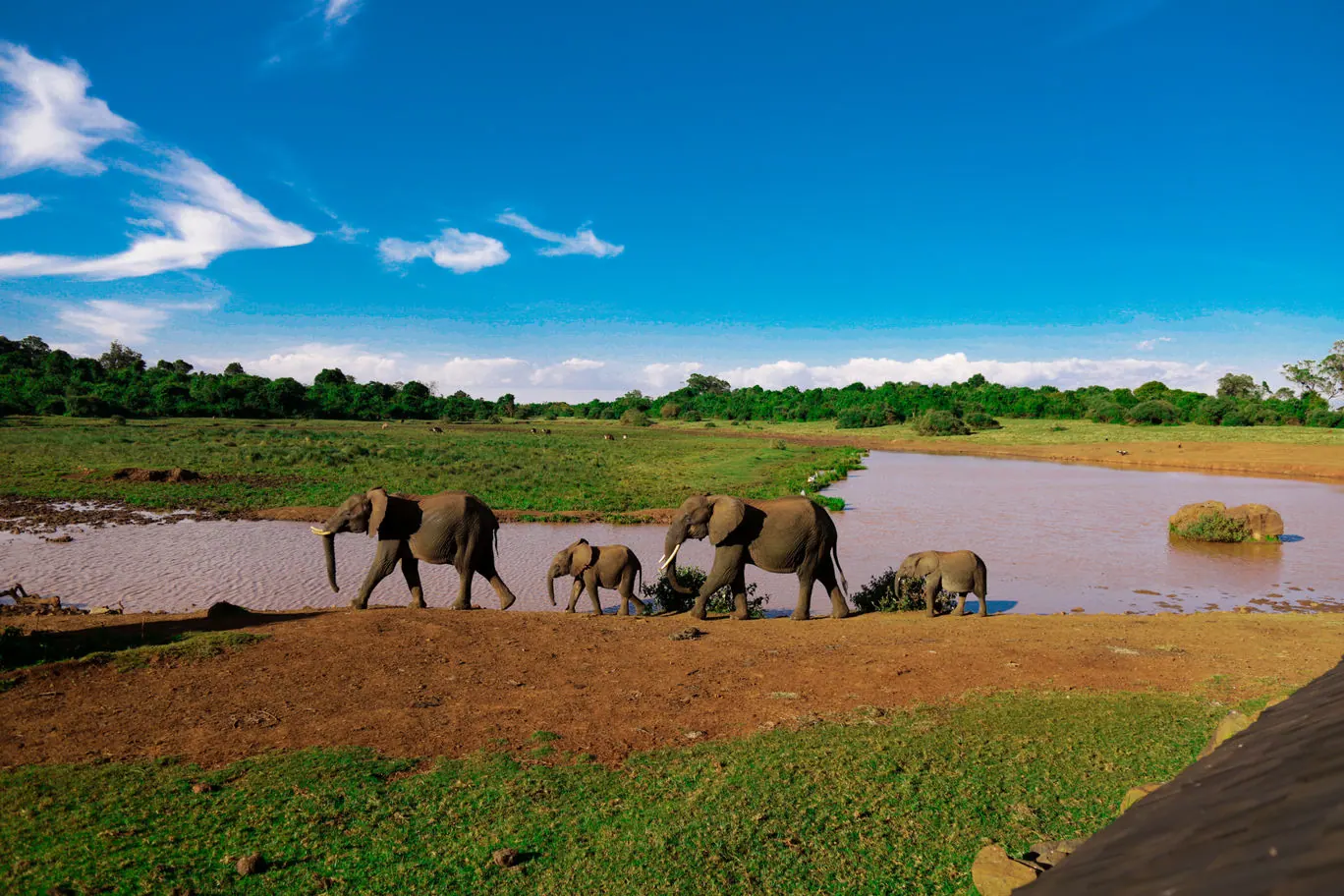
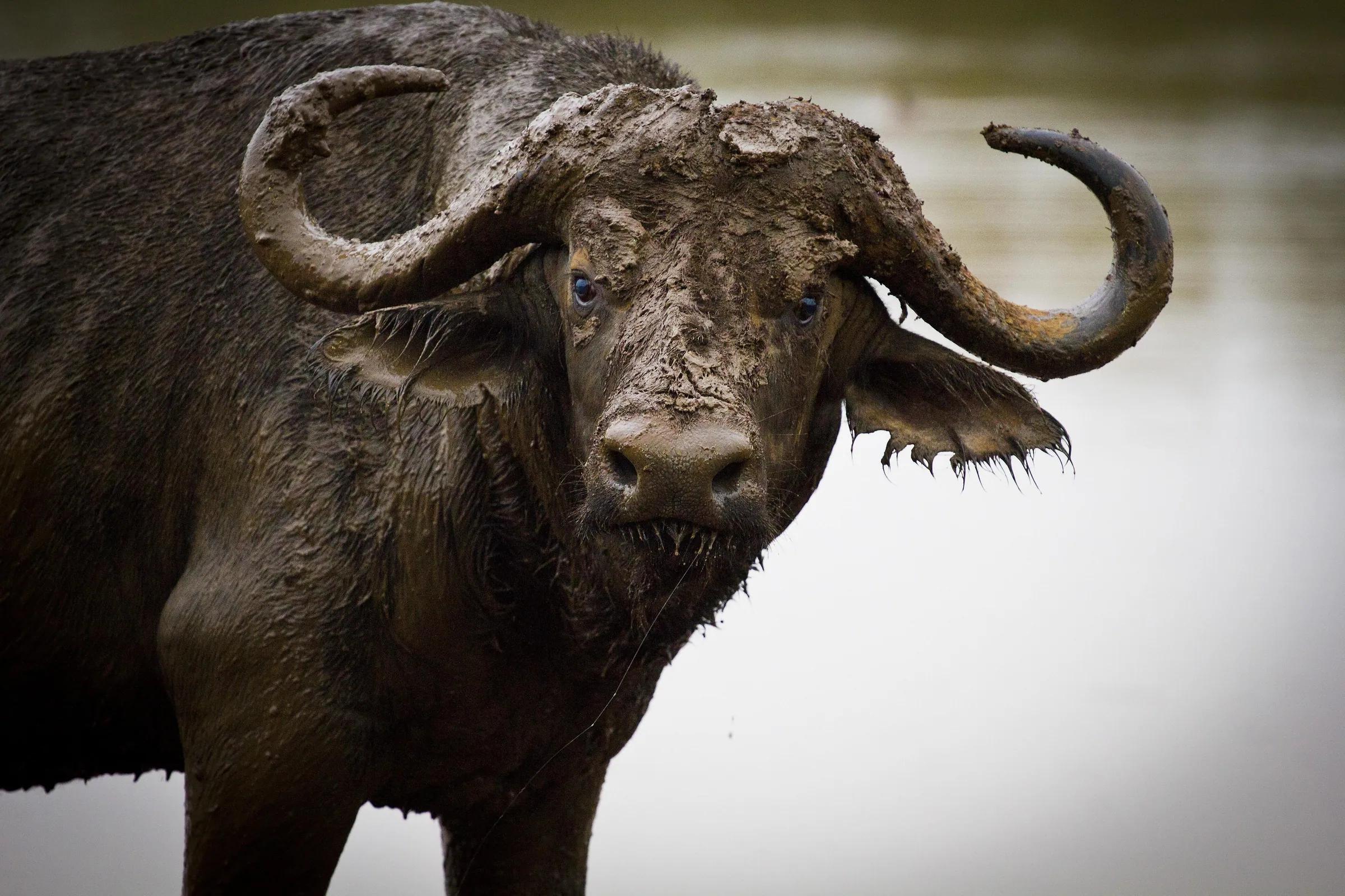
Aberdare National Park is managed by Kenya Wildlife Service. Walking inside the park is allowed only with an armed KWS ranger, which you arrange in advance at the park headquarters at Mweiga, near Nyeri, or at the gates, or through your operator. The rule exists for good reason: elephants and buffalo can appear suddenly at close range in thick heather or mist, and lions and leopards live on the moorland. Your ranger chooses the route, decides when to stop and talks you through what to do if you meet an animal: stand still, stay together and do exactly as you are told.
Elephant Hill and some other trails lie in the forest reserves around the park, managed by the Kenya Forest Service, where local community guides lead walks. Check the current rules and fees with us before you go, as they differ between the park and the forest.
Fees
At the time of writing, the KWS non-resident fee for Aberdare National Park is about $70 per adult per day, with a lower child rate, paid through KWS on eCitizen. The ranger escort is charged separately, and vehicle fees apply if you drive in. Forest reserve walks have their own modest fees, paid in shillings. Our park fees page has the current table and the official schedule.
Cold, rain and when to go
- The Aberdares are among the wettest places in Kenya, and rain can fall in any month.
- The drier months, usually December to February and June to September, are best for hiking.
- In the long rains, roughly March to May, moorland roads can close and trails become bog.
- Mornings can be close to freezing on the plateau. Bring a warm jacket, a hat, gloves and a full rain shell.
- Mist can cut visibility to a few meters in minutes. Stay with your ranger.
- The altitude, 3,000 to 4,000 meters, makes every climb harder. Walk slowly.
Where to stay and how it fits
Nyeri, about two and a half to three hours from Nairobi, is the gateway town, with hotels and the park headquarters close by. The Aberdares are famous for their tree hotels above floodlit waterholes: The Ark is the best known still in operation, and Treetops, the most famous of all, has had periods of closure in recent years, so ask us what is open when you travel. KWS also has self-catering accommodation inside the park. A walking day fits neatly on the way north to Mount Kenya, Laikipia or Samburu, or alongside a Mount Kenya climb.