Hiking. Updated November 2026. 4 min read.
Thomson's Falls is the kind of stop that turns a long drive into a good day. The Ewaso Narok river runs quietly across the high plateau at Nyahururu, then drops about 74 meters over a basalt cliff into a green, misty gorge. You can see it from the top in five minutes, walk down to the spray at the bottom in fifteen, and be back on the road north within the hour.
In short: Thomson's Falls is an easy walk, not a hike, but the steps to the base are steep and slippery, so wear shoes with grip. It is best after the rains, when the falls are full, and it fits naturally on the drive between Nakuru and Laikipia or Nyeri. Nyahururu sits at about 2,360 meters, so bring a warm layer: this is one of the coldest towns in Kenya.
What to do at the falls
| Option | Time | Effort | Good to know |
|---|---|---|---|
| The viewpoint at the top | 15 to 30 minutes | None | The classic photo, a few steps from the car park |
| The walk down to the base | 15 to 20 minutes down, 25 to 30 up | Easy to moderate | Steep, uneven steps; wet and slippery from the spray |
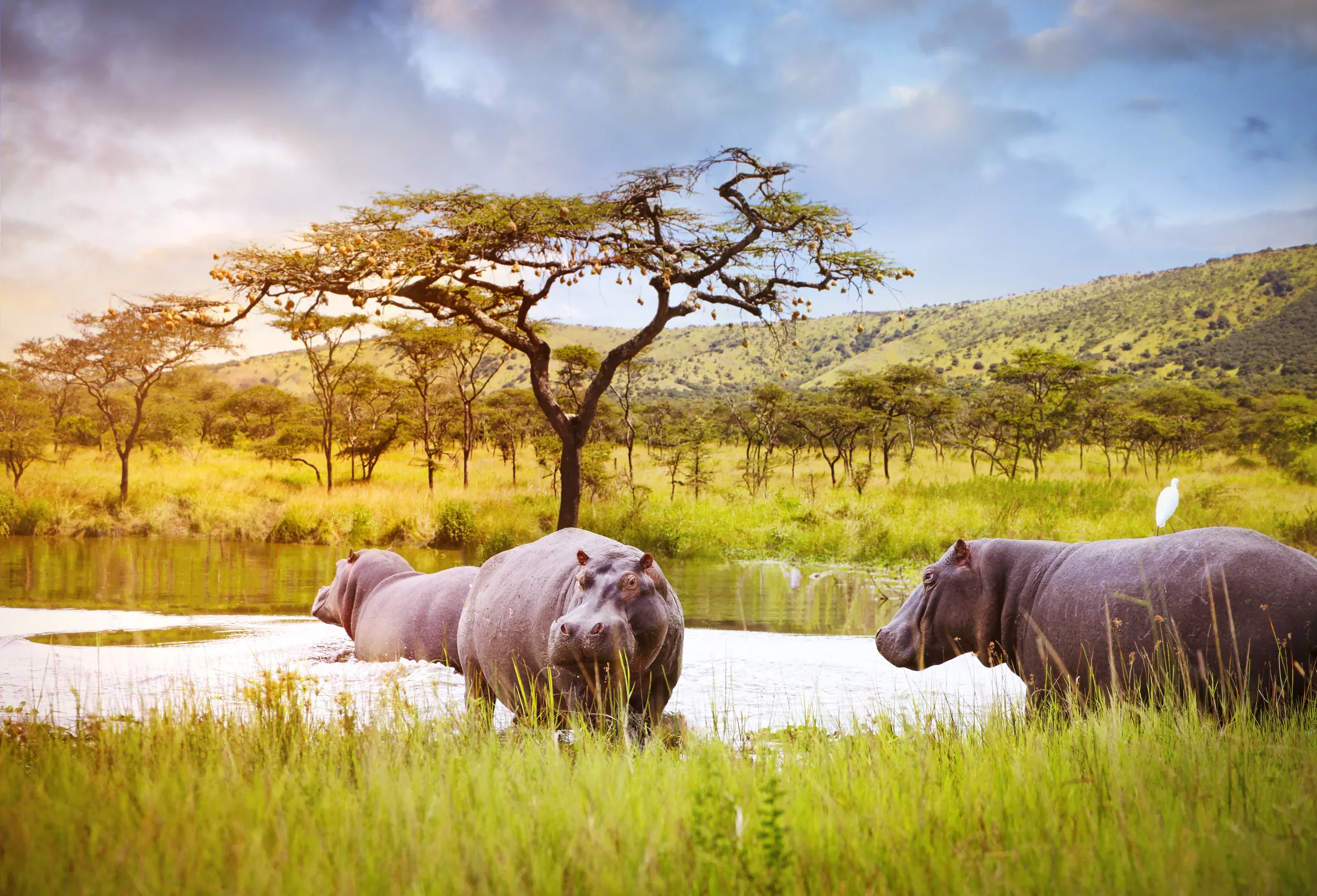
| The hippo pool, upstream | 1 to 2 hours with a guide | Easy | A walk along the river to a pool where hippos are often seen, though never guaranteed |
| Tea or lunch at the lodge | As long as you like | None | The old lodge has gardens looking over the falls |
The walk to the base
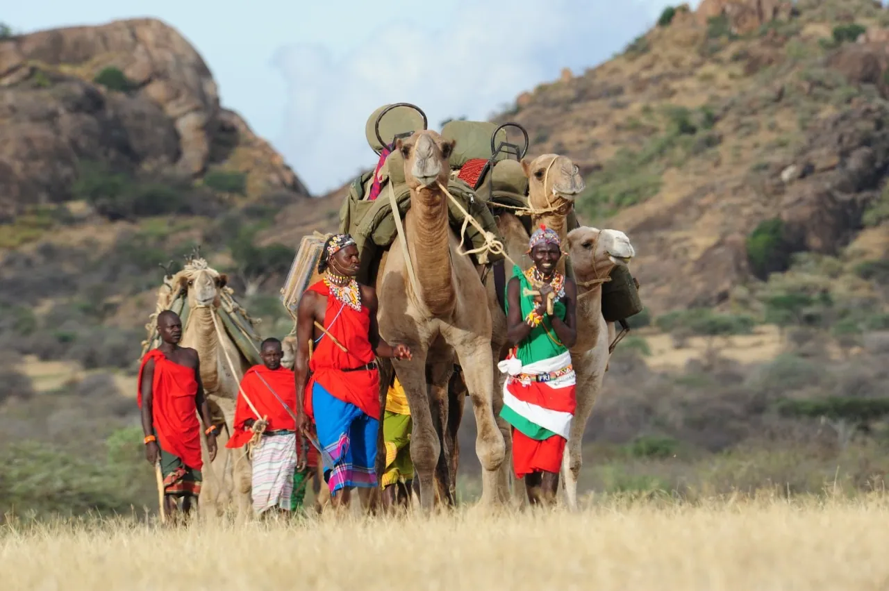
A path of steps and earth winds down the side of the gorge from the viewpoint to the river below the falls. It is short but steep, and the closer you get the wetter it becomes, until you are walking through the falls' own drizzle. At the bottom you stand in the spray with the full height of the water above you, which is the only way to understand how big the falls really are. Take your time on the way back up: at this altitude the climb leaves most people breathing hard.
- Wear shoes or boots with grip. Sandals and smooth soles are a bad idea on the wet steps.
- Keep children close and hold the rail where there is one.
- Stay back from the river below the falls; the current is strong and the rocks are slick.
- Protect your phone and camera from the spray.
- In heavy rain, the path can be muddy and the river high. Enjoy the view from the top instead.
The history in the name
The falls are named after Joseph Thomson, the young Scottish geologist and explorer who walked from the coast through Maasai country to Lake Victoria in 1883 and 1884, a journey he described in his book Through Masai Land. He reached the falls in 1883 and named them after his father. The town that grew up nearby was itself called Thomson's Falls in colonial times and later took the name Nyahururu, which is the name you will see on maps and road signs today. Thomson's name also lives on in Thomson's gazelle, which you will see on almost any safari.
Thomson's Falls Lodge, beside the viewpoint, dates from the colonial era and still has an old-world feel: a log fire, lawns over the gorge and a terrace for tea. Even if you are not staying, it is a pleasant place for lunch or a hot drink on a cold afternoon.
Fees, sellers and photographs
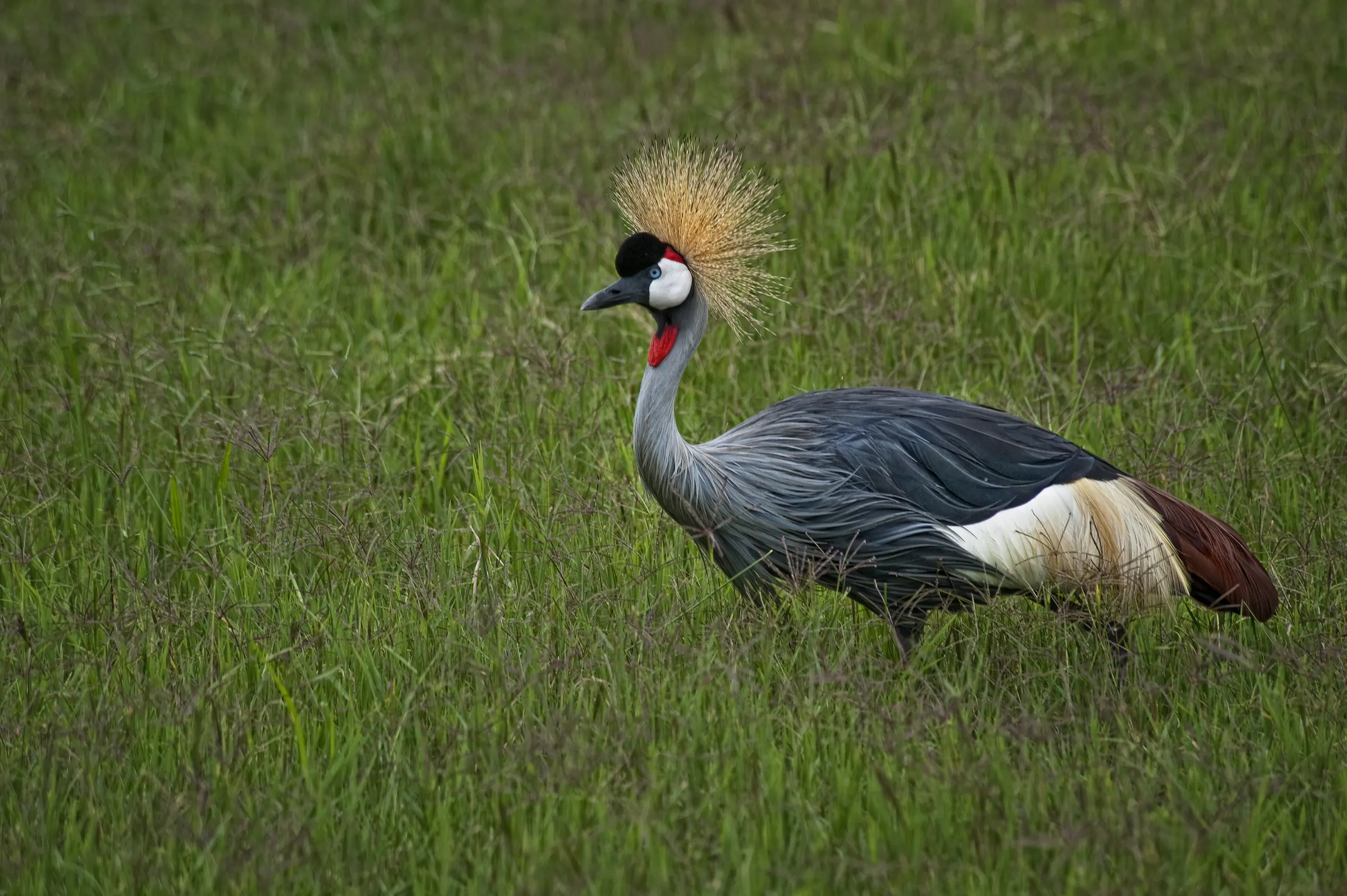
Entry to the falls is managed locally, and at the time of writing visitors pay a small fee in shillings at the gate; check the amount on arrival or ask us. Around the viewpoint you will find curio stalls, guides offering the walk to the hippo pool, and people in traditional dress or with props who pose for photographs. All are fine to use if you want them, but agree any price before the photo or the walk, not after. Buying a carving or a string of beads from the stalls is a good way to support the people who live from the falls.
Nyahururu and the high country
Nyahururu sits at about 2,360 meters on the edge of the Laikipia plateau, which makes it one of the highest towns in Kenya. Mornings are cold, frost is not unknown, and the clean, thin air has made it a training base for distance runners: Samuel Wanjiru, the 2008 Olympic marathon champion, came from Nyahururu. Nearby Lake Ol Bolossat, a shallow highland lake and wetland, is a quiet stop for birdwatchers, and the farmland around it is some of the most fertile in the highlands.
Getting there and fitting it in
- From Nakuru: about 1.5 hours by road, a natural stop on the way to Laikipia or Nyeri.
- From Nairobi: about 3.5 to 4 hours, too far for a day trip on its own.
- From Nyeri or Nanyuki: about 1.5 to 2.5 hours, on the route between the Aberdares, Mount Kenya and the Rift Valley.
- On the way to Lake Baringo or Lake Bogoria: possible with an early start, as a longer route through the highlands.
Most travelers visit on the way between the Rift Valley lakes and Laikipia, stopping for an hour or a lunch. If you are hiking in the Aberdares or climbing Mount Kenya, the falls make a good half day before or after. The best months are after the long rains, roughly May to July, and after the short rains, in December, when the river is full; in a long dry season the flow can drop to a thin ribbon.
We plan routes through the highlands with time for stops like this one, and our guides know the best place for lunch and the right moment to leave before the afternoon traffic.