KENYA EXPERIENCE
Plan your trip
Marsabit County, Kenya

Jangwa

Jangwa means desert.

Marsabit County

Its Lake Turkana fossil beds are among the world's most important evidence of human origins.

Capital
Marsabit
People
460k
Area
66,923 km²
Altitude
1,350 m

Marsabit is Kenya's second-largest county. It runs from the misty forested volcano of Mount Marsabit across the Chalbi Desert to Lake Turkana's eastern shore. Fourteen communities live here, including the Gabra, Rendille, Borana, Samburu, Dasanach and El Molo.

Why it matters

Its Lake Turkana fossil beds are among the world's most important evidence of human origins. Mount Marsabit's forest is a vital water source in an arid land.

The economy

Pastoralism, especially camels, supports most people. The El Molo and others fish Lake Turkana, and cultural tourism is growing.
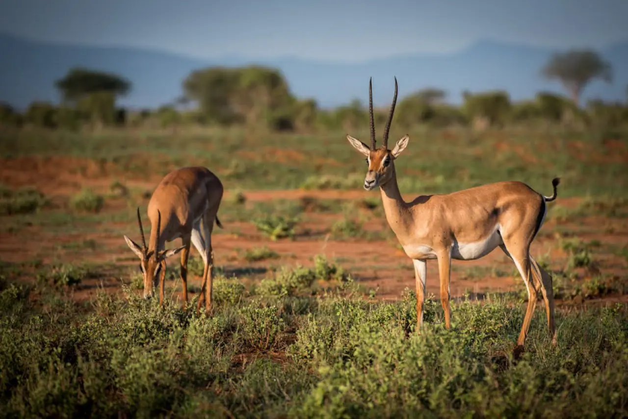
Must-see in Marsabit

  • Marsabit National Park and Reserve

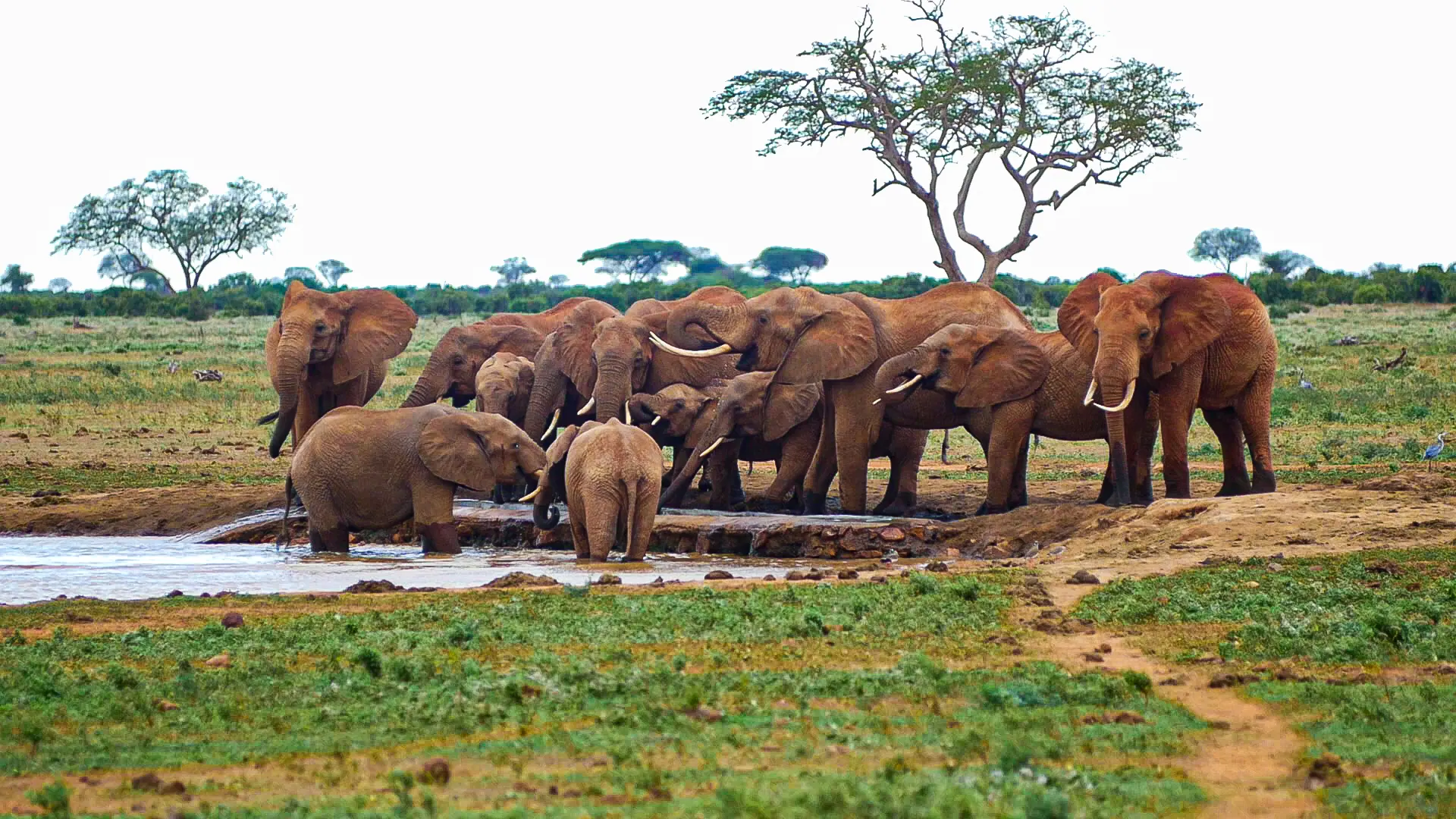
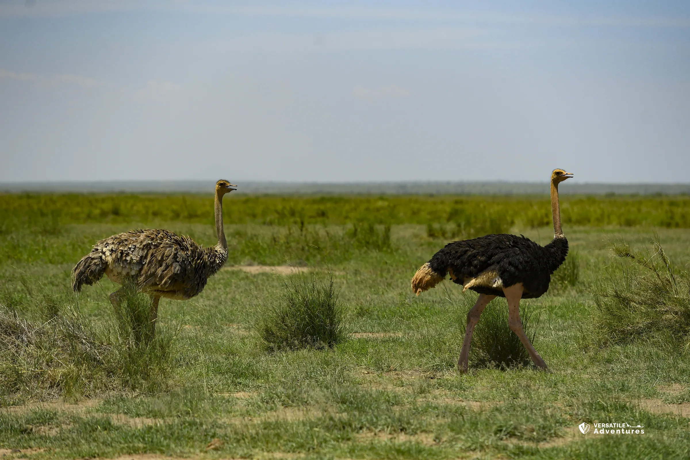
    A forested volcanic oasis known for big-tusked elephants, greater kudu and dark night skies.

  • Lake Paradise

    The park's most scenic crater lake.

  • Gof Bongole

    The largest crater lake, where elephants gather to drink.

  • Sibiloi National Park and Koobi Fora

    UNESCO-listed fossil sites known as the Cradle of Mankind.

  • Lake Turkana (the Jade Sea)

    The world's largest desert lake.

  • Chalbi Desert

    Salt pans and dunes, East Africa's only true desert.

  • Mount Kulal Biosphere Reserve

    Forested volcanic slopes high above Lake Turkana.

  • Desert Museum, Loiyangalani

    Artefacts and regalia of the lakeside peoples.

Parks and wildlife in Marsabit

Peoples of Marsabit

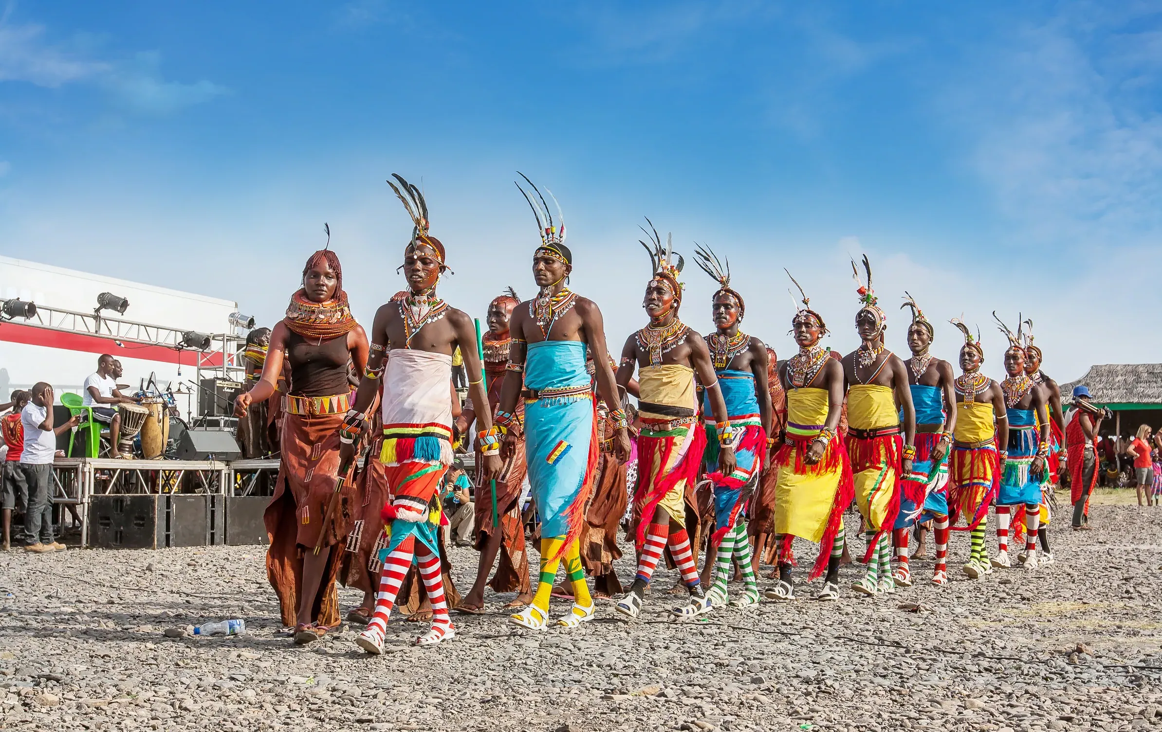
Communities with a historic home in Marsabit. Today people from every part of Kenya live and work here.

Music, food and culture

The Marsabit Lake Turkana Cultural Festival at Loiyangalani brings all 14 communities together for dance, storytelling, camel processions and crafts. It ran on 3–7 December 2025. Camel milk and meat are staples.

Best time to go

June–September and January–February, when desert tracks are easier and wildlife gathers at the crater lakes. Early December for the festival.

Marsabit and its neighbours. Tap a county or a place to read about it.

Hover a county or a dot. Click to open it. Locations are approximate.

Your questions

When is the best time to visit Marsabit?

June–September and January–February, when desert tracks are easier and wildlife gathers at the crater lakes. Early December for the festival.

What is Marsabit County known for?

Its Lake Turkana fossil beds are among the world's most important evidence of human origins. Mount Marsabit's forest is a vital water source in an arid land.

Where is Marsabit and what is its capital?

Marsabit is Kenya's second-largest county. It runs from the misty forested volcano of Mount Marsabit across the Chalbi Desert to Lake Turkana's eastern shore. Fourteen communities live here, including the Gabra, Rendille, Borana, Samburu, Dasanach and El Molo. The county capital is Marsabit, and the 2019 census counted 459,785 people across about 66,923 square kilometres.

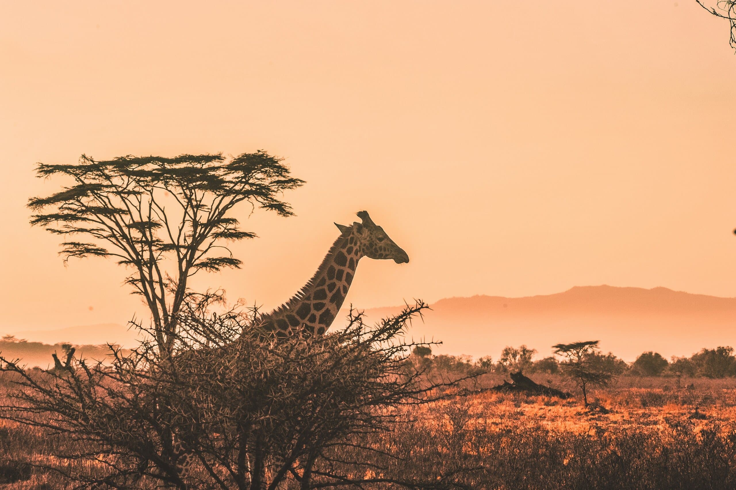
A giraffe and acacia tree silhouetted against a Kenyan sunset

Put Marsabit on your map.

A Kenya specialist replies within two business days with dates, lodges and flights from the USA.

Book a trip