KENYA EXPERIENCE
Plan your trip
Makueni County, Kenya

Pori

Pori means bush.

Makueni County

The Chyulu Hills are a critical water catchment for Mzima Springs and the coast's water supply.

Capital
Wote
People
988k
Area
8,009 km²
Altitude
1,100 m

Makueni runs from the Mbooni and Kilungu hills to the volcanic Chyulu Hills along the Nairobi–Mombasa corridor. It is Akamba country, dotted with mango orchards.

Why it matters

The Chyulu Hills are a critical water catchment for Mzima Springs and the coast's water supply.

The economy

Mangoes and fruit are major earners, backed by a county fruit-processing plant, with trade in highway towns such as Emali.
Must-see in Makueni

  • Chyulu Hills National Park

    Rolling green hills with views of Kilimanjaro.

  • Leviathan Cave

    An 11.5 km lava tube, one of the world's longest.

  • Kibwezi Forest and Umani Springs

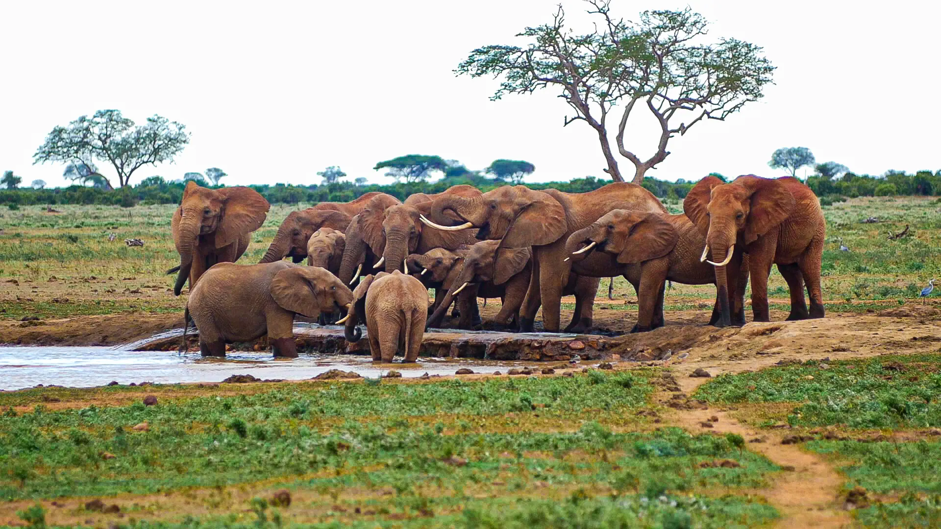
    A lush groundwater forest where orphaned elephants are cared for.

  • Makindu Sikh Temple

    A 1926 gurdwara offering free meals to travellers around the clock.

  • Nzaui Hill

    A full-day forest hike to twin summits.

  • Mbooni and Makuli hills

    Quiet scenic hikes.

Peoples of Makueni

Communities with a historic home in Makueni. Today people from every part of Kenya live and work here.

Music, food and culture

The Kilumi Festival revives the sacred Akamba drum dance; its second edition was held in April 2026 near Emali. Try muthokoi and fresh Makueni mangoes.

Best time to go

June–October for clear Kilimanjaro views from the Chyulus.

Makueni and its neighbours. Tap a county or a place to read about it.

Chyulu Hills National Park

Hover a county or a dot. Click to open it. Locations are approximate.

Your questions

When is the best time to visit Makueni?

June–October for clear Kilimanjaro views from the Chyulus.

What is Makueni County known for?

The Chyulu Hills are a critical water catchment for Mzima Springs and the coast's water supply.

Where is Makueni and what is its capital?

Makueni runs from the Mbooni and Kilungu hills to the volcanic Chyulu Hills along the Nairobi–Mombasa corridor. It is Akamba country, dotted with mango orchards. The county capital is Wote, and the 2019 census counted 987,653 people across about 8,009 square kilometres.

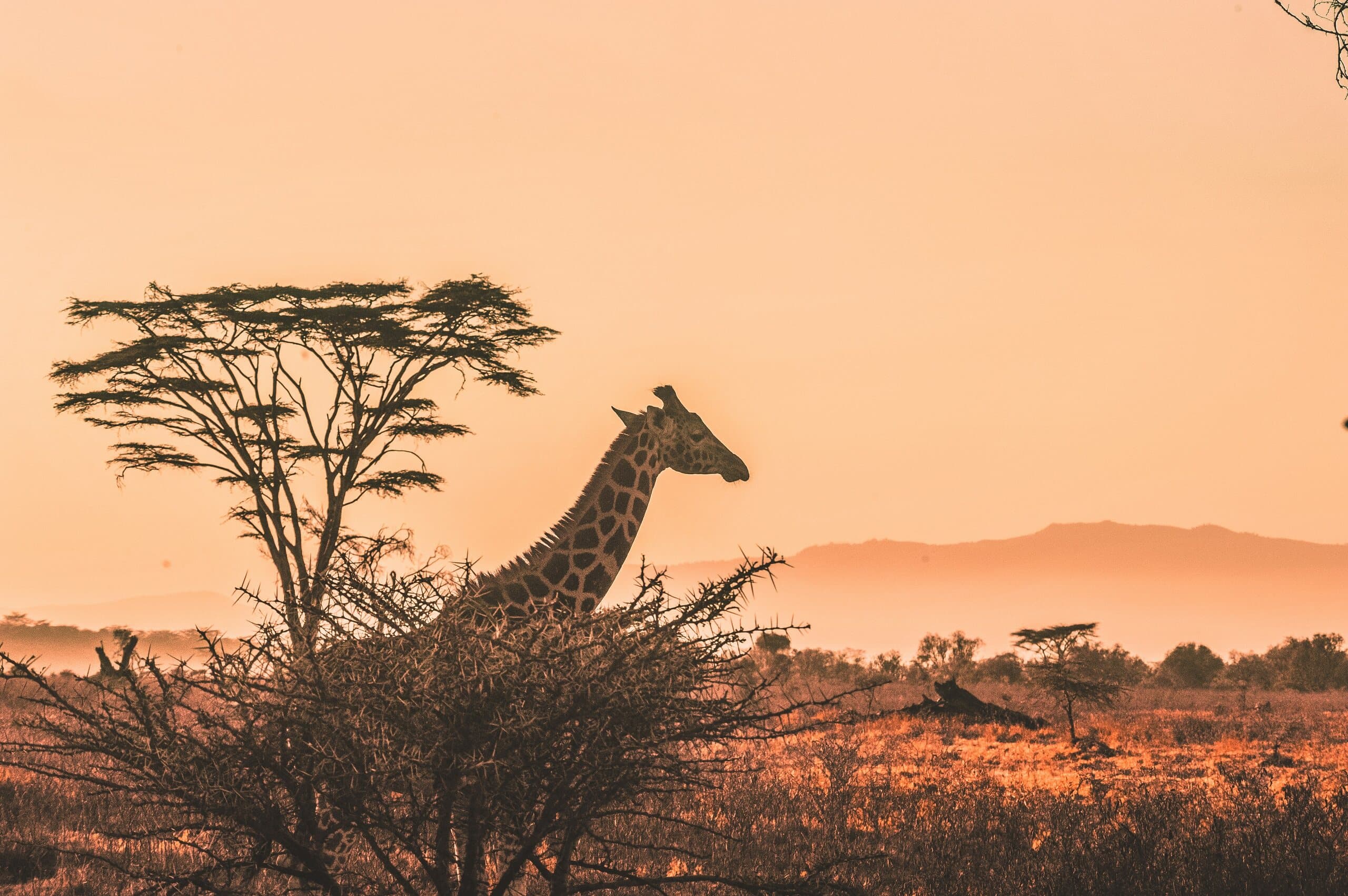
A giraffe and acacia tree silhouetted against a Kenyan sunset

Put Makueni on your map.

A Kenya specialist replies within two business days with dates, lodges and flights from the USA.

Book a trip