Parks and reserves. Updated November 2026. 4 min read.
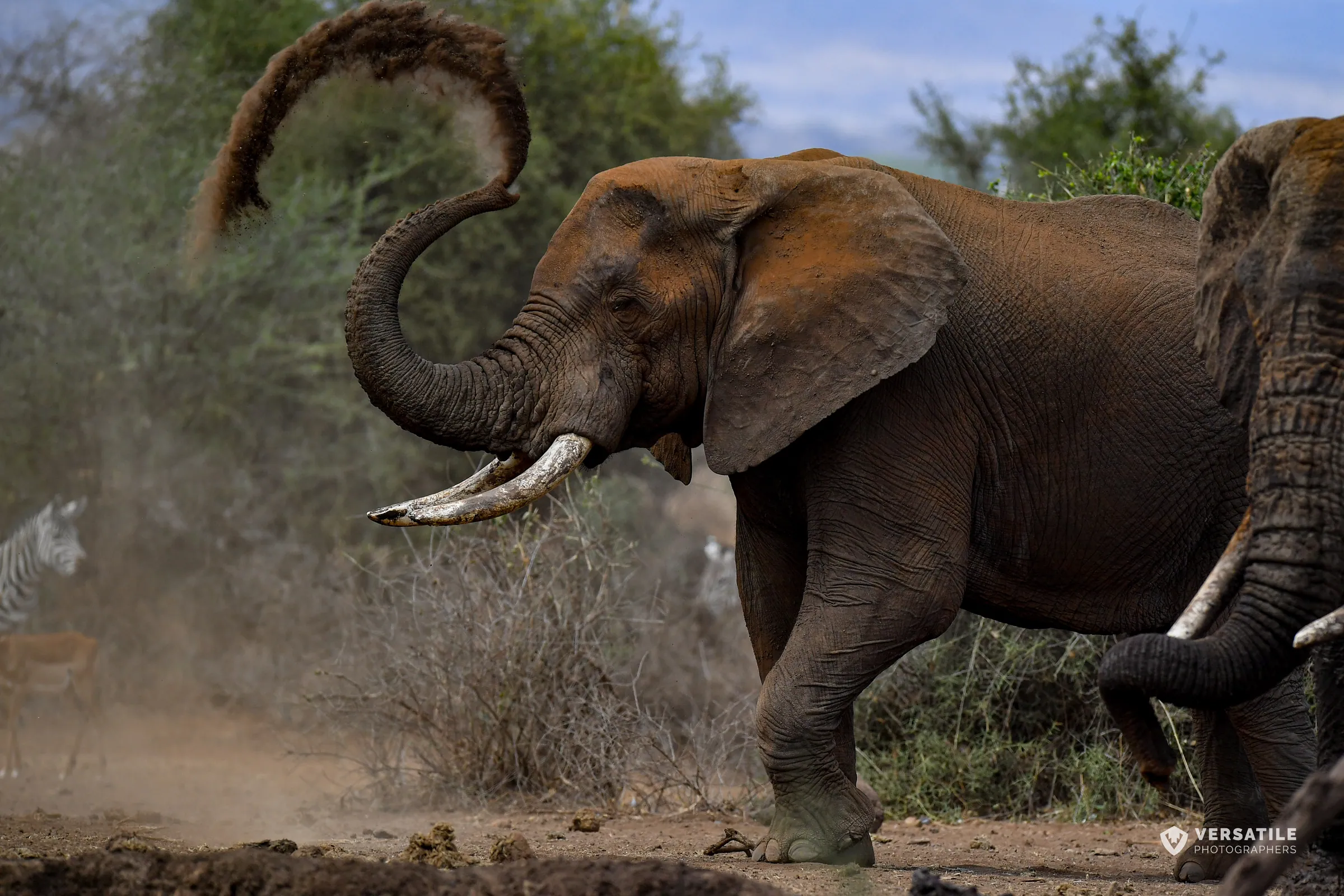
At night on Mount Elgon, elephants walk into the dark of a cave. They go deep, feeling their way along the rock, and use their tusks to gouge salt from the walls, then chew it and walk back out before dawn. Kitum Cave is one of the very few places on Earth where elephants are known to mine, and the tusk marks are there for you to see by torchlight.
Mount Elgon is Kenya's second-highest mountain, an ancient volcano on the Uganda border with one of the largest calderas in the world. Kenya's side is protected as Mount Elgon National Park, 169 square kilometers run by Kenya Wildlife Service since 1968, and the Uganda side is a national park of its own. It is cool, wet, green and almost empty of visitors. Come for the caves, the forest, the moorland and a summit, Koitobos at 4,222 meters, that is a walk rather than a climb. Base yourself in Kitale, and pair it with Saiwa Swamp nearby.
Kitum Cave and the salt-mining elephants
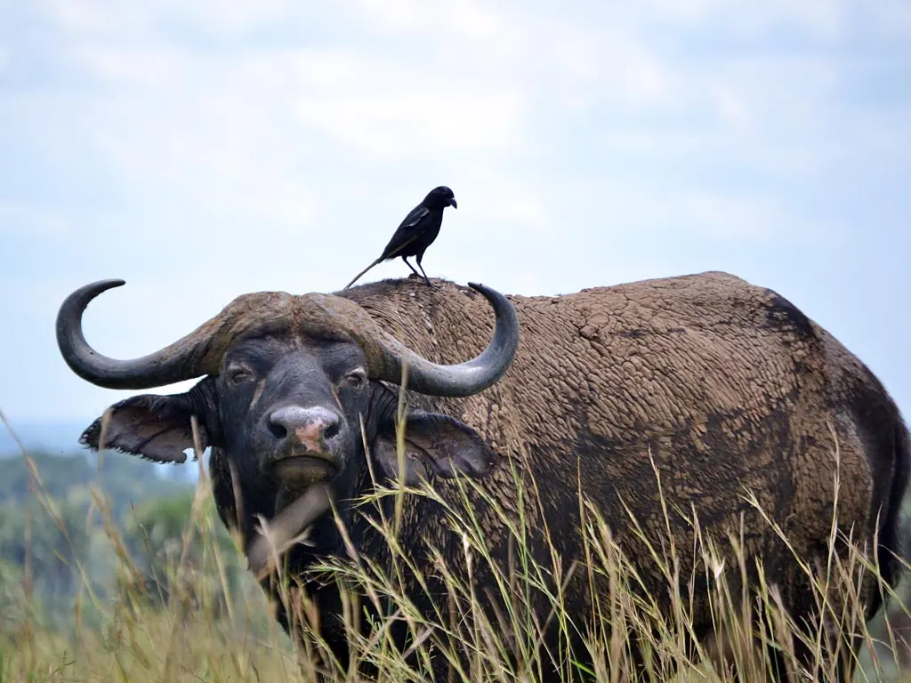
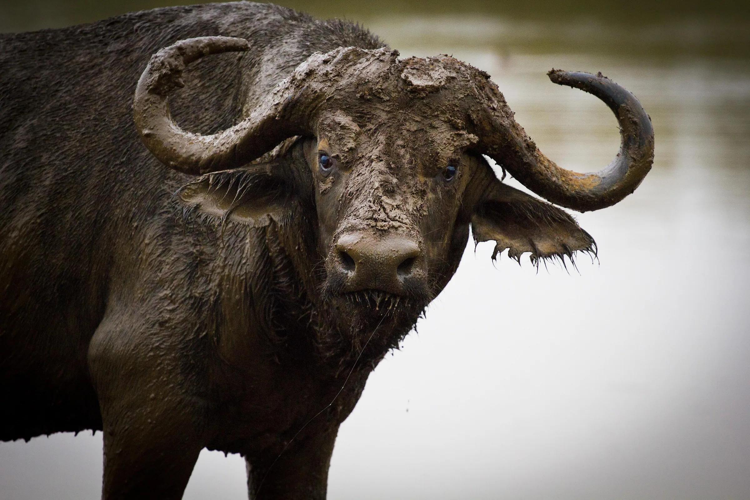
Kitum runs about 200 meters into the mountain. The rock is volcanic ash rich in salts, and for generations elephants, buffalo and antelope have come in to lick and scrape it, which has helped deepen the cave. Seeing elephants inside is rare for visitors, because they come at night and the park is visited by day; what you see are the tusk grooves, the trails and the dung. The cave became famous worldwide through two cases of Marburg virus in the 1980s that were linked to visits there, later described in the book The Hot Zone.
- Go only with a KWS guide or ranger, and only in daylight
- Wear a mask against the dust from bat guano, and do not touch bats or droppings
- Bring good torches and wear a helmet if you have one; the floor is uneven and the roof low in places
- Wear sturdy shoes and clothes you do not mind getting dirty
- Ask your doctor or travel clinic for current health advice before you go
The other caves
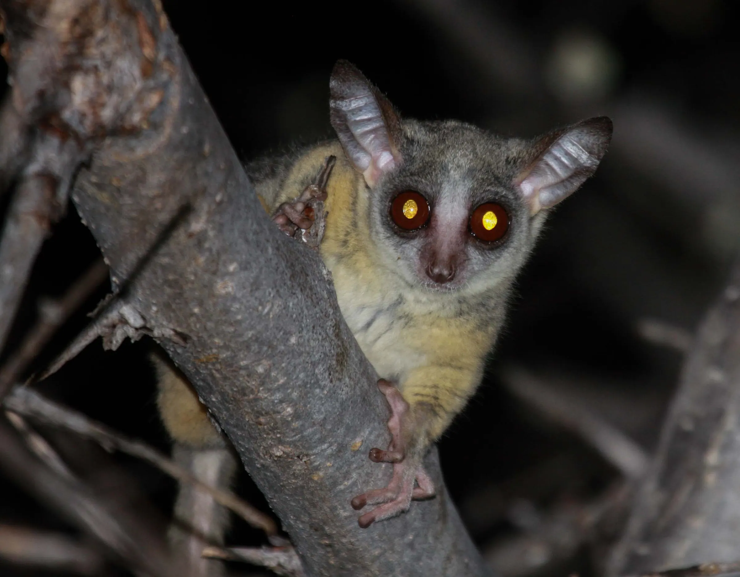
Makingeny Cave is the most dramatic to look at, with a waterfall dropping over its mouth, and Chepnyalil Cave is another stop on the walking trails near the main gate. All three caves are in forest on the lower slopes, so a cave walk is also a forest walk, with black-and-white colobus and blue monkeys overhead.
The mountain: forest to caldera
- Lower slopes: montane forest with tall podocarpus and cedar, bushbuck, buffalo and forest birds
- Bamboo zone, then open moorland with giant groundsels and lobelias, as on Mount Kenya
- Endebess Bluff: a viewpoint over the farmlands of Trans-Nzoia
- The caldera: a vast crater floor with hot springs and the source of rivers, shared between Kenya and Uganda
- Koitobos: a flat-topped basalt peak on the Kenya side, reached on foot from the high road head; walking at altitude, not technical climbing
Above about 3,000 meters, altitude matters even on an easy walk. Go slowly, drink water, and read our altitude page before you plan a summit day.
Hiking and the Uganda side
The summit walk to Koitobos can be done as a long day from the road head, weather and road permitting, or over two days with a night in the moorland. Longer hikes descend into the caldera. Crossing the mountain into Uganda is possible as a guided trans-boundary trek, but it needs arrangements with both Kenya Wildlife Service and the Uganda Wildlife Authority and immigration formalities on both sides, so plan it well ahead. On the Uganda side, the Sipi Falls area is the best-known base.
Fees, seasons and getting there
| Item | Detail |
|---|---|
| Park fee | About $26 per foreign adult per day at the time of writing; check the KWS fee schedule |
| Driest months | Usually December to February; rain is possible in any month |
| By road | Nairobi to Kitale about 7 hours, then under an hour to the main gate |
| By air | Fly Nairobi to Eldoret in about an hour, then about 1.5 hours to Kitale |
| Time needed | One day for the caves; two to three days with a summit walk |
Pack for cold and wet: a warm fleece, a waterproof jacket, gloves and a hat for the high ground, even when Kitale is warm. Roads on the mountain can be difficult after rain, so a 4x4 with an experienced driver is essential.
Where to stay and the people of the mountain
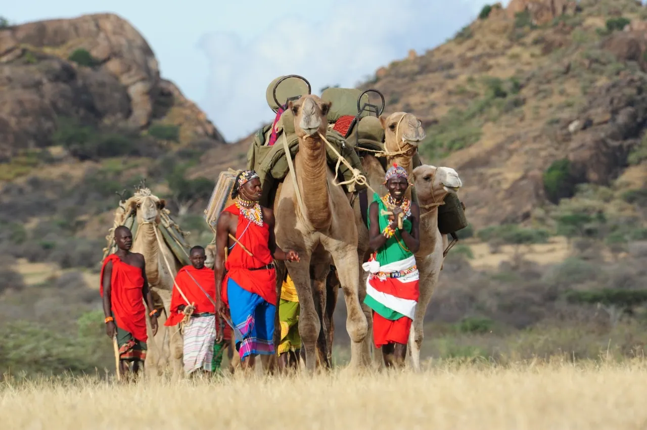
KWS runs simple self-catering bandas and campsites in the park, and Kitale, the farming town below the mountain, has guesthouses and hotels. The Sabaot, a Kalenjin-speaking people, live on the Kenyan slopes, and the mountain's name is usually traced to the Elgonyi, one of their sections. A local guide from the community adds a great deal to a visit.
Who it suits
Hikers who want a high mountain without crowds, repeat Kenya visitors, and anyone who wants a western Kenya trip with Saiwa Swamp, Kakamega Forest and Lake Victoria. It is not a big-game park: elephants and buffalo are here but hard to see in the forest. We are Kenyan-led, with two U.S. companies behind us; pay in full or monthly with no deposit.