History. Updated November 2026. 4 min read.
On a low hill in Migori County, close to the shore of Lake Victoria, a ring of grey stone walls rises out of the scrub. They stand up to about four and a half meters high and a meter thick, and not a spoonful of mortar holds them together: every stone was chosen and fitted by hand about five hundred years ago. This is Thimlich Ohinga, Kenya's seventh World Heritage Site, and on most days you will have it nearly to yourself.
Comparisons with Great Zimbabwe are inevitable, and only partly fair. Thimlich Ohinga is smaller and was never a royal city. But it belongs to the same great African tradition of dry-stone building, and it is the largest and best preserved of the stone enclosures that once dotted the Lake Victoria basin. It deserves far more visitors than it gets, and it is an easy addition to a western Kenya trip.
What the name means
In Dholuo, the language of the Luo who live in the area today, thim means a thick forest or bush, lich means frightening or awe-inspiring, and ohinga is a stone enclosure or fort. Thimlich Ohinga is often translated as the stone enclosure in the frightening dense forest. The plural, ohingni, is used for the many smaller sites around it.
Why UNESCO listed it
UNESCO inscribed Thimlich Ohinga in 2018 on three cultural criteria. Under (iii), it is exceptional testimony to the tradition of massive dry-stone walled enclosures built by the first pastoral communities of the Lake Victoria basin, a tradition that lasted from the 16th to the mid-20th century. Under (iv), it is an outstanding example of that type of settlement. Under (v), it shows how communities organized space for people, cattle and craft, and how those enclosures defined lineages and social relationships.
Who built it
The honest answer is that historians are still working it out. The site was probably built in the 16th century. Archaeologists generally think the first builders were Bantu-speaking communities living in the area, and that Luo-speaking settlers, who were moving into the region from the north around the same period, later occupied and maintained the enclosures. The tradition of building ohingni continued for centuries, which is why the area has many smaller sites of different ages. Ask the guides at the gate for the local version of the story; it differs a little from the textbook one, and both are worth hearing.

A timeline
| When | What happened |
|---|---|
| About the 1500s | The main enclosures are probably built |
| 1500s to 1900s | The ohingni tradition continues across the Lake Victoria basin |
| Mid-1900s | The last enclosures in the region fall out of use |
| 1981 | Thimlich Ohinga is gazetted as a national monument |
| 2018 | UNESCO inscribes the site at its 42nd session |
What you see
The main enclosure, the largest of the site's principal enclosures, is a rough oval you can walk around in twenty minutes. Look closely at the walls: every stone was chosen and set so that it locks against its neighbors, and the wall stands by weight and friction alone, about a meter thick at the base. The gates are low and narrow. You have to stoop to pass through, which made the enclosure easy to defend, and some still have the stone buttresses that framed a wooden gate.
- Inner enclosures, or kraals, where cattle were kept safe at night
- House pits, the flattened circles where round houses stood
- An area archaeologists link to craft work, possibly iron working
- Smaller enclosures nearby, built in the same tradition
- A small information point at the entrance, where you meet your guide
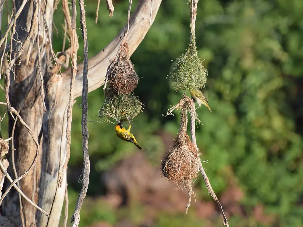
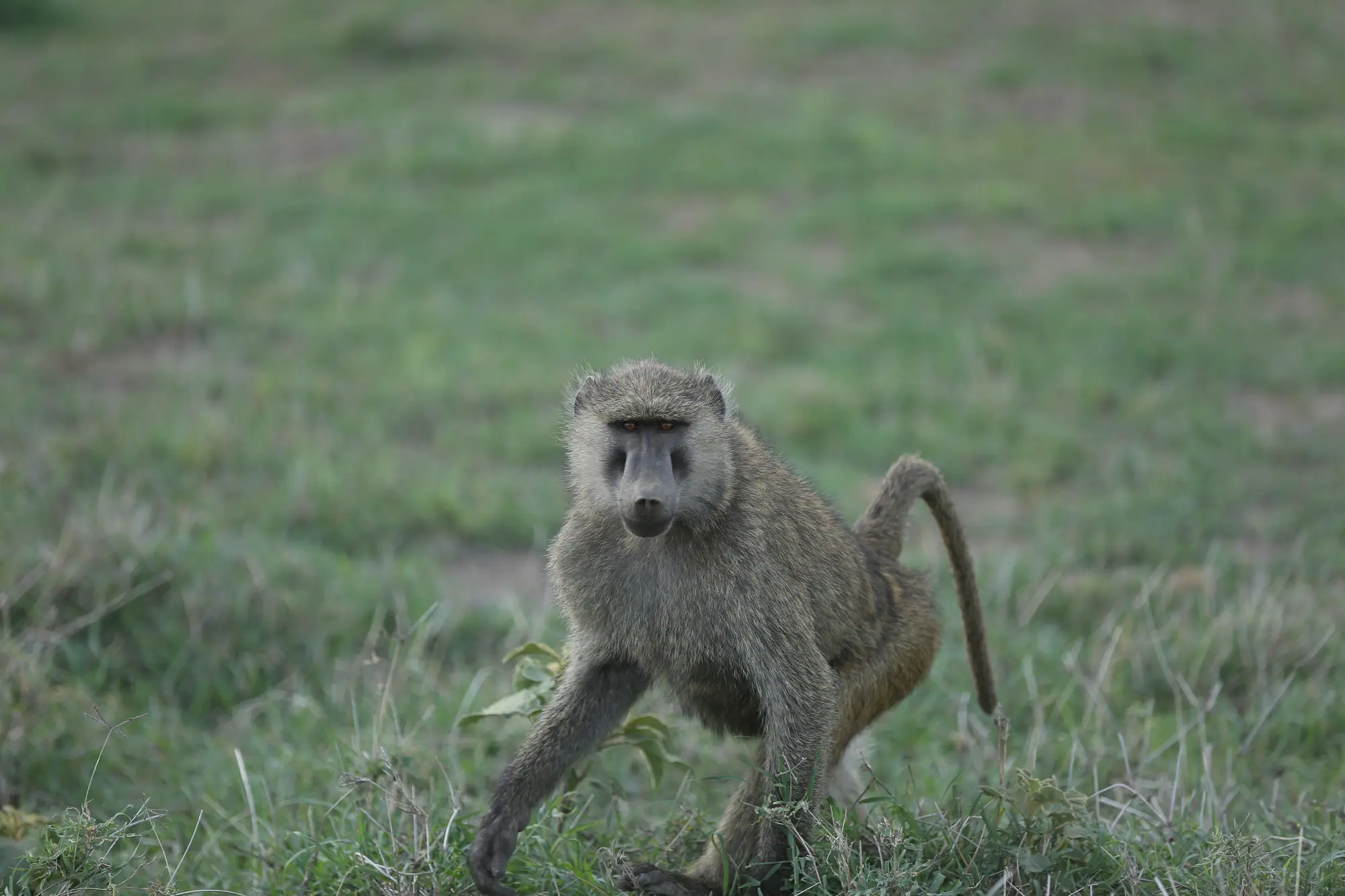
The forest that gave the site its name has thinned, but the bush around it still holds birds, monkeys and, sometimes, small antelope. Come in the morning, when the light picks out the texture of the stone and before the afternoon heat and rain.
Getting there
| From | How | Time |
|---|---|---|
| Migori town | By road, the last stretch on murram | About 1 to 1.5 hours |
| Kisumu | By road via Homa Bay or Kisii and Migori | About 4 hours each way |
| Homa Bay or Ruma National Park | By road | About 2 hours |
| The Maasai Mara's western side | By road via Isebania or Kehancha | Most of a day; plan an overnight |
There is a small entrance fee, set by National Museums of Kenya, and guides are available at the gate. Facilities are basic. Bring water, a hat and cash in Kenyan shillings, and use the restroom in Migori town before you drive out.
Why so few people come
Thimlich Ohinga receives a tiny fraction of the visitors who see Fort Jesus, for simple reasons: it is a long way from the safari circuit, the last stretch of road is rough, and until 2018 few people outside Kenya had heard of it. That is changing slowly. For now the guides at the gate are glad to see you, the site is uncrowded, and the money you pay at the gate and spend in Migori makes a real difference locally. If you come with a school or university group, tell us in advance and we will ask the site staff for a longer talk on the archaeology and on the community's part in protecting the walls.
Making a trip of it
Thimlich Ohinga fits best into a two or three-day loop in the far southwest of Kenya. Spend a night in Homa Bay or on Rusinga Island, see Ruma National Park, Kenya's only park protecting the roan antelope, and eat tilapia on the lakeshore. Add Kit Mikayi and Kisumu on the way north. For Kenyans in the U.S. with roots in Migori, Homa Bay or Siaya, it is an easy and moving way to show your children something of the region's long history. Our western Kenya itinerary has the full route.