Maasai Mara. Updated November 2026. 5 min read.
The Mara is not one park. It is a 1,510-square-kilometre reserve split by a river into two managements, ringed by community conservancies that are nearly as big again, and reached through six gates and eleven airstrips. This map is the one we draw on napkins for guests.
Read the map in three layers. First, the Maasai Mara National Reserve, about 1,510 km2 (580 square miles) in Narok County, run by the county. Second, the Mara Triangle, about 510 km2 of the reserve that lies west of the Mara River, managed by the not-for-profit Mara Conservancy. Third, the conservancies, Maasai-owned land to the north and east, leased to a small number of camps. There are no fences between any of them, and the Serengeti continues across the Tanzania border to the south. The map is schematic, for orientation rather than navigation; what follows is a written tour of it in six parts.
1. The east: Sekenani and the road from Narok
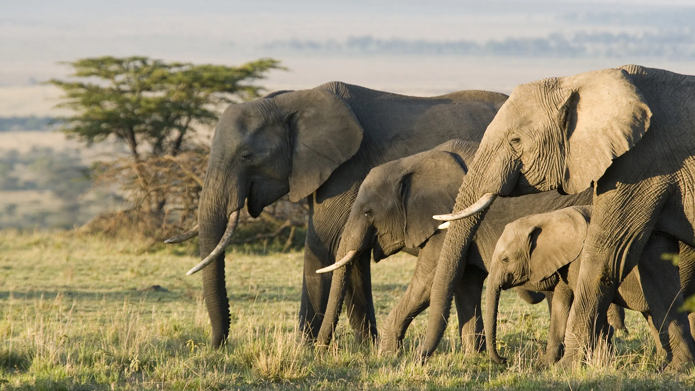
Most road travelers meet the Mara here. Sekenani Gate is the main eastern gate, at the end of the C12 from Narok, and Oloolaimutia Gate sits on the eastern boundary nearby, serving the lodges and camps along it. This side of the reserve is rolling, open country with scattered acacia and low hills, good for lion, cheetah and plains game. Outside the boundary to the east lie Mara Siana, Ol Kinyei and Mbokishi conservancies, served by the Siana airstrip. Camps here are the closest to Nairobi by road, which is why many budget and mid-range safaris base themselves around Sekenani.
2. The centre: the Talek River to Musiara
The heart of the reserve runs from the Talek River north-west to the Musiara marsh. The Talek River crosses the reserve from the east and joins the Mara River in the middle; Talek Gate and Talek town sit on the north-eastern boundary, with many of the reserve's camps strung along the river. The Ol Kiombo airstrip serves this central area, close to both rivers. Further north and west, the Musiara marsh is a wetland long known for big cats and elephants, with Musiara Gate and the Musiara airstrip close by. This is also where the central crossing points are: Entim, the Cul-de-sac, Mawe Mawe and, beside it, Pontoon. It is the most visited part of the Mara, for good reason, and the busiest in August.
3. The Mara Triangle: west of the river
West of the Mara River, the Triangle runs up to the Oloololo escarpment, also called the Siria escarpment, a long wall that marks the reserve's western edge. The Mara Conservancy manages it separately from the rest of the reserve, with its own rangers, rules and cashless gates. Oloololo Gate is the way in from the north-west. The Serena airstrip serves the Triangle; Kichwa Tembo airstrip is just outside it to the north-west, and Angama airstrip sits on top of the escarpment. The ridge near Mara Serena gives one of the best views over the river. Many of the famous crossing points are on this stretch: the Lookout crossings, the group near the Purungat bridge, Serena crossing, and the best views of BBC crossing. Fewer camps make it quieter than the east.
4. The north: the conservancies
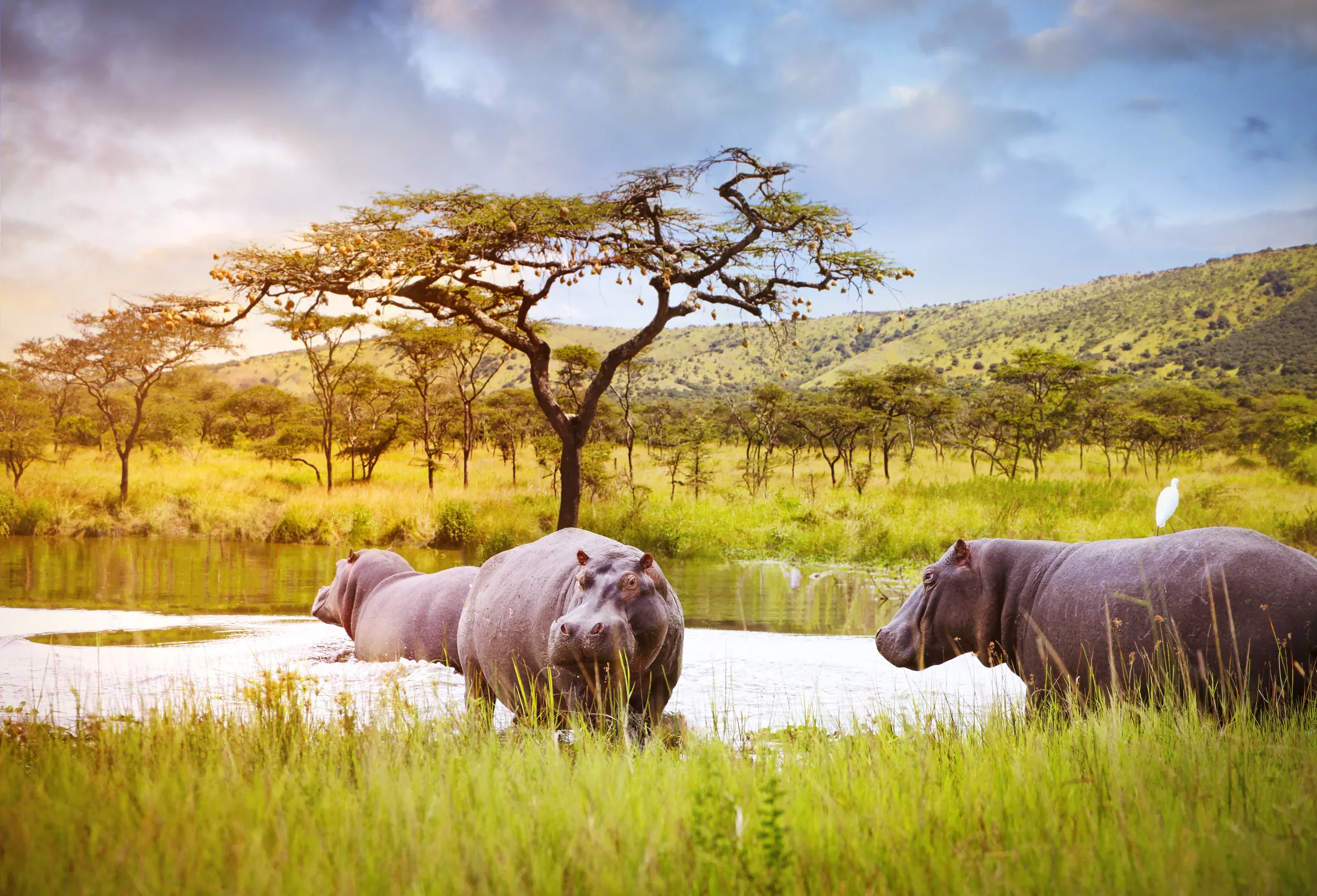
North of the reserve, the conservancies form a near-continuous ring of Maasai land. Mara North, the largest, lies above the Musiara area and the Triangle, with its own airstrip; the Ngerende airstrip serves camps on the Mara River further north. Lemek, Ol Choro Oirouwa and Enonkishu sit north and north-east of Mara North. Closer to the reserve, Olare Motorogi and the small Olerai lie north of the Talek River, served by the Olare Orok airstrip; Naboisho, one of the largest, is to the east of them, with the Ol Seki airstrip. Pardamat, almost as big as Mara North, is further east, and Nashulai, a community-led conservancy, is near Talek. From the northern conservancies, the drive to the river crossings is one to two hours.
5. The south: Keekorok, Lookout Hill and the Sand River
The southern reserve is open grassland, and in July it is where the first herds arrive from Tanzania. Keekorok, with its airstrip and the boardwalk over the Keekorok hippo pool, is the main landmark. Lookout Hill, a low hill with a wide view over the plains, is a good place to stop and get your bearings. The Sand River runs along the south, often shallow or dry, with the first crossing point of the season and the Sand River Gate. In the south-east, Olderkesi Conservancy lies against the Tanzania border, outside the reserve. Fewer camps and longer drives keep the south quieter than the centre for most of the year.
6. The border: where the Mara meets the Serengeti
The reserve's southern edge is the border between Kenya and Tanzania, and beyond it the Serengeti. There is no fence: the herds simply walk across, and the Mara River itself flows south into Tanzania. In the Triangle, the Purungat bridge crosses the river close to the border. For people, though, the border is closed: there is no open road crossing for tourists at the Sand River, so travelers combining the two parks fly via Nairobi or drive through the Isebania border post.
The conservancies by size
| Conservancy | Area (hectares) | About (km2) | About (square miles) | Where |
|---|---|---|---|---|
| Mara North | 28,487 | 285 | 110 | North, above Musiara and the Triangle |
| Pardamat | 25,900 | 259 | 100 | North-east |
| Naboisho | 22,500 | 225 | 87 | North-east of Talek |
| Olare Motorogi | 15,200 | 152 | 59 | North of the Talek River |
| Mara Siana | 11,000 | 110 | 42 | East, near Sekenani |
| Ol Kinyei | 7,544 | 75 | 29 | East |
| Lemek | 7,021 | 70 | 27 | North |
| Ol Choro Oirouwa | 6,472 | 65 | 25 | North |
| Nashulai | 4,856 | 49 | 19 | Near Talek |
| Mbokishi | 3,642 | 36 | 14 | East |
| Olderkesi | 3,108 | 31 | 12 | South-east, near the border |
| Olerai | 2,020 | 20 | 8 | North, near Olare Motorogi |
| Enonkishu | 1,624 | 16 | 6 | Far north |
Together these thirteen cover about 1,390 km2, close to the size of the reserve itself. Our conservancies guide explains how they work, what they cost and which camps sit in each.
Distances and times
| From | To | Distance or time |
|---|---|---|
| Nairobi | The reserve gates | 225 to 275 km by road; 5.5 to 6.5 hours with a stop |
| Wilson Airport, Nairobi | Any Mara airstrip | About 1 hour by air |
| Sekenani Gate | Talek | About 30 km |
| Talek | Musiara | About 45 km |
| The northern conservancies | The river crossings | About 1 to 2 hours' drive |
| Gates | Opening hours | 6am to 6pm |
Distances look short, but tracks are slow, and a guide stops for everything worth stopping for. A drive from Sekenani to the Musiara marsh can fill a morning. Our where to stay guide places the camps by zone, so you can pick a base close to what you most want to see.