Safety. Updated November 2026. 7 min read.
Kenya is a big country, nearly the size of Texas, and most visitors see a small part of it: Nairobi, the Mara, perhaps Amboseli and a week on the beach. That is a very good trip. It is also a fraction of what is here. We plan the whole country, from the coral islands of Kiunga at the northern end of the coast to the jade water of Lake Turkana, and from the elephant caves of Mount Elgon on the Uganda border to the beaches of Diani.
This page is a map of where we take travelers, region by region: what each part of the country is for, how long to give it and how we get you there. The classic circuit is easy to plan, with good roads and scheduled flights. The far north, the north-west and the outer islands of Lamu need more: 4x4 vehicles, drivers who know the routes, local guides and often a charter flight. We plan both, and many of our favorite trips mix the two.
The map at a glance
| Region | Places | Best for | Getting there |
|---|---|---|---|
| Nairobi | Karen, Westlands, Nairobi National Park, the Giraffe Centre, the elephant orphanage | Arrival and departure days, a city day | JKIA for international flights, Wilson Airport for safari flights |
| The Maasai Mara | The reserve, the Mara Triangle and the conservancies | The migration, big cats, balloon flights | About an hour by air from Wilson, or 5.5 to 6.5 hours by road |
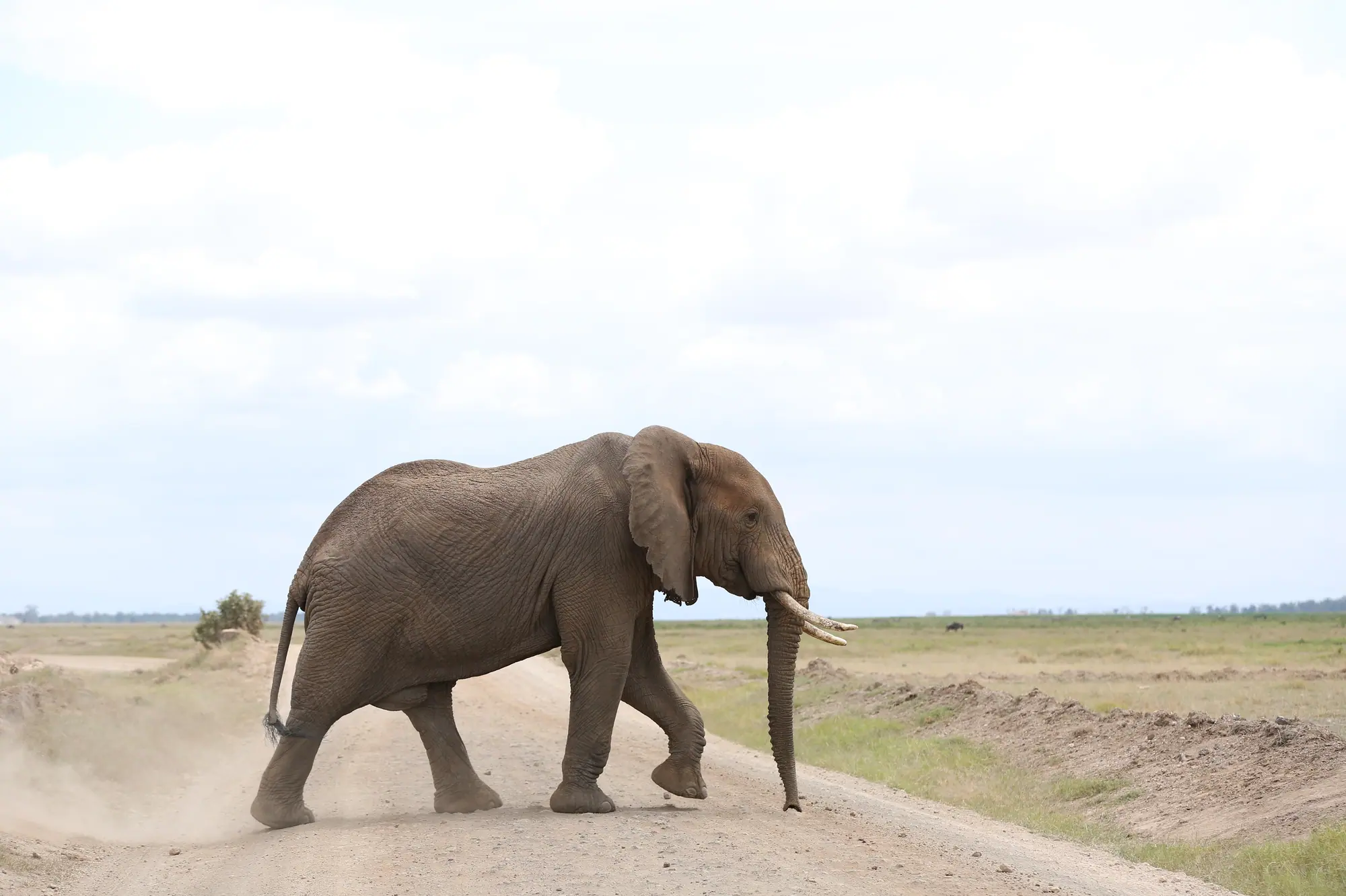
| Amboseli and Tsavo | Amboseli, the Chyulu Hills, Tsavo East and Tsavo West | Elephants under Kilimanjaro, big wild country | By road from Nairobi or Mombasa, or a short flight |
| Laikipia and Samburu | Ol Pejeta, Lewa and the conservancies; Samburu, Buffalo Springs and Shaba | Rhinos, the northern species, walking safaris | By road or a short flight from Wilson |
| The Rift Valley lakes | Naivasha, Nakuru, Bogoria, Baringo and Hell's Gate | Lakes, birds, flamingos when water levels suit them | By road from Nairobi |
| The highlands | Mount Kenya, the Aberdares and the Kericho tea country | Trekking, forest, tea estates | By road from Nairobi |
| The west | Kisumu and Lake Victoria, Kakamega Forest, Iten, Eldoret, Kitale, Mount Elgon, Saiwa Swamp and West Pokot | Rainforest birds, running, mountains, culture | Fly to Kisumu or Eldoret, then by road |
| The far north | Marsabit, Lake Turkana, Loiyangalani and Sibiloi | Desert, volcanoes, fossils, the northern peoples | Long 4x4 journeys, or a charter flight |
| The coast | Diani, Mombasa, Kilifi, Watamu, Malindi, Lamu and Kiunga | Beaches, reefs, dhows, Swahili towns | Fly to Mombasa, Malindi or Manda for Lamu |
The classic circuit: Nairobi, the Mara, Amboseli and the coast
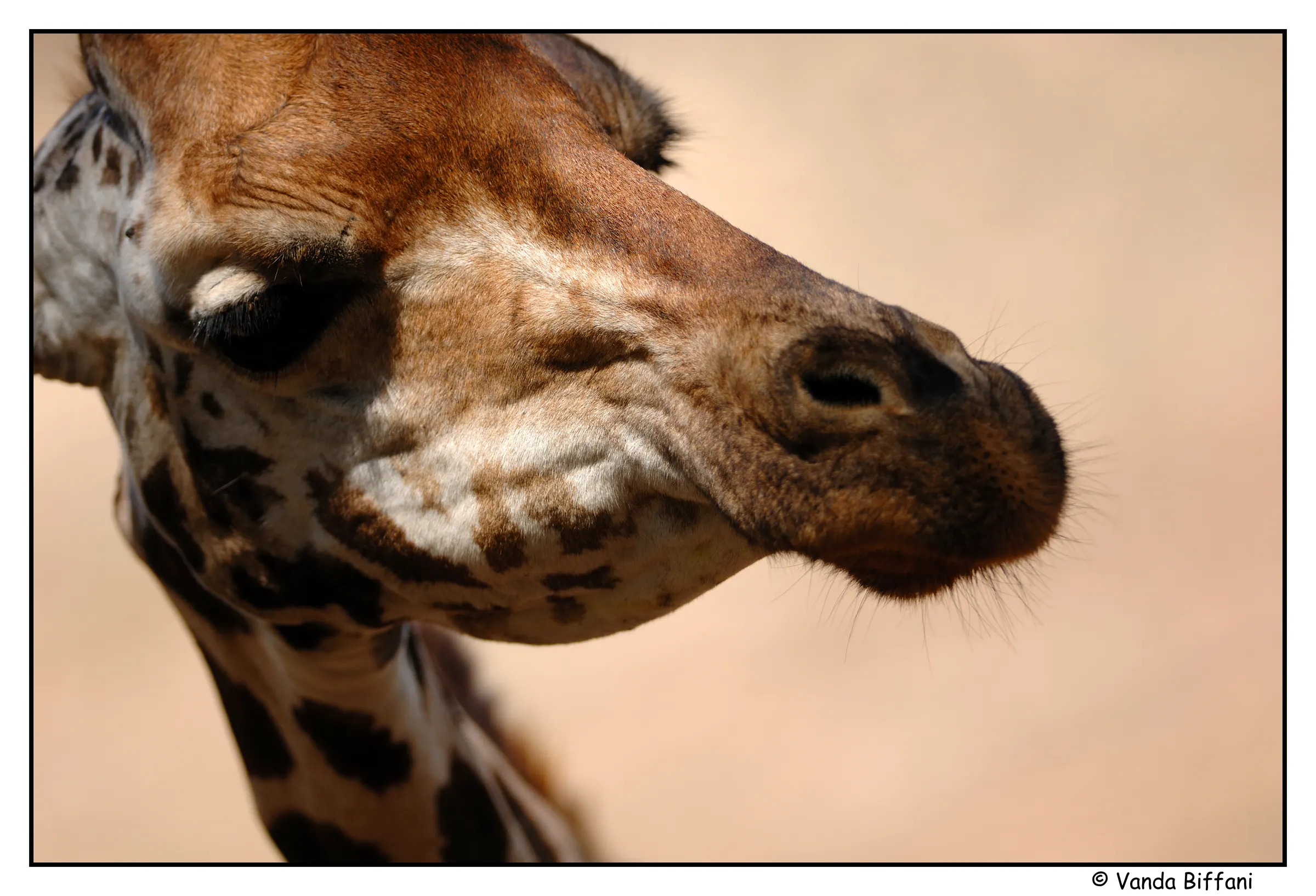
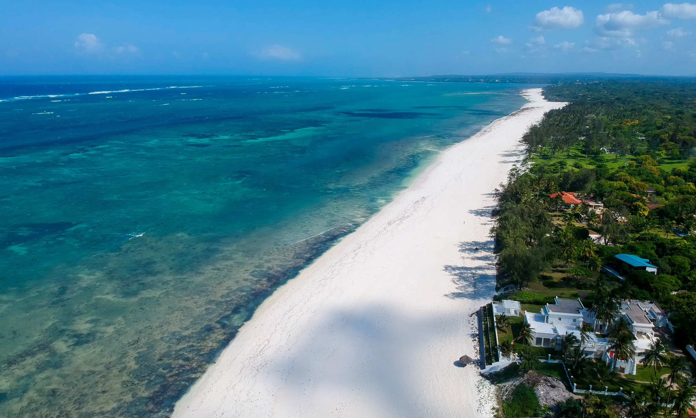
Most first trips start here, and for good reason. Nairobi is where you land, and a night in a quiet suburb such as Karen gives you the Giraffe Centre, the elephant orphanage and Nairobi National Park, with the city skyline behind the giraffes. The Mara is an hour away by light aircraft, with the migration from about late July into October and big cats all year. Amboseli adds the elephants and the view of Kilimanjaro, and Tsavo adds space. Then the coast: a long white beach at Diani, the Old Town and Fort Jesus in Mombasa, or the marine park at Watamu. Our 7, 10 and 14-day itineraries show how these fit together.
Laikipia, Samburu and the highlands
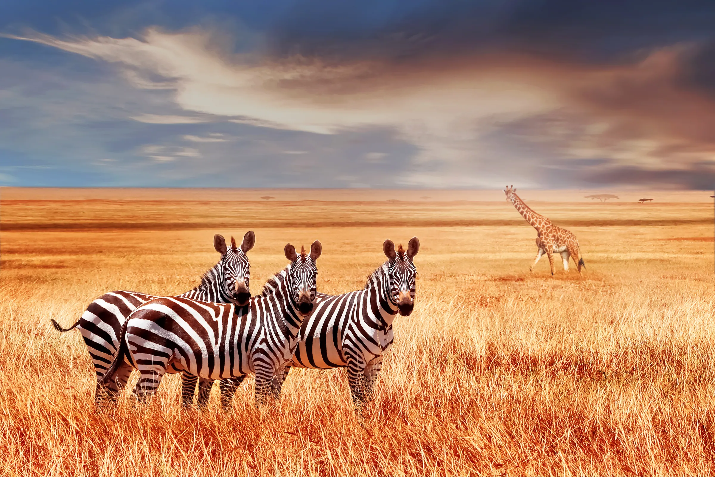
North of Nairobi, the country rises to Mount Kenya and then drops to the dry plains of Laikipia and Samburu. Laikipia's conservancies, Ol Pejeta and Lewa among them, are the best places in Kenya to see rhinos, and many allow walking and night drives. Samburu, Buffalo Springs and Shaba, along the Ewaso Nyiro river, bring the northern species you will not see in the south: reticulated giraffe, Grevy's zebra, Beisa oryx, gerenuk and the Somali ostrich. Mount Kenya and the Aberdares add forest, trekking and cool nights, and the Rift Valley lakes make an easy stop on the way west.
The west: Lake Victoria, Kakamega, Kitale, Mount Elgon and West Pokot
Western Kenya is the part of the country most visitors never see, and some of the greenest. Kisumu sits on Lake Victoria, with boat trips to the islands. Kakamega Forest is Kenya's last fragment of the Guineo-Congolian rainforest, best walked slowly at dawn for its monkeys, birds and butterflies. Iten, high above the Kerio Valley, is where the world's distance runners train.
Further north, Kitale in Trans-Nzoia County is a farming town about 7 hours by road from Nairobi, or a flight to Eldoret and 1 to 1.5 hours by road. It is the base for Mount Elgon National Park, where elephants walk into Kitum Cave at night to mine salt and a long hike takes you to Koitobos at 4,222 meters, and for Saiwa Swamp, Kenya's smallest national park and a home of the sitatunga antelope. Beyond Kitale, West Pokot rises from hot plains to the Cherangani Hills, above 3,300 meters. Kapenguria Museum holds the cells where Jomo Kenyatta and his fellow nationalists were held, and the road north climbs through the Marich Pass toward Turkana. West Pokot is little visited and very rewarding, and we plan it with local Pokot guides.
The north: Samburu to Marsabit, Lake Turkana and Sibiloi
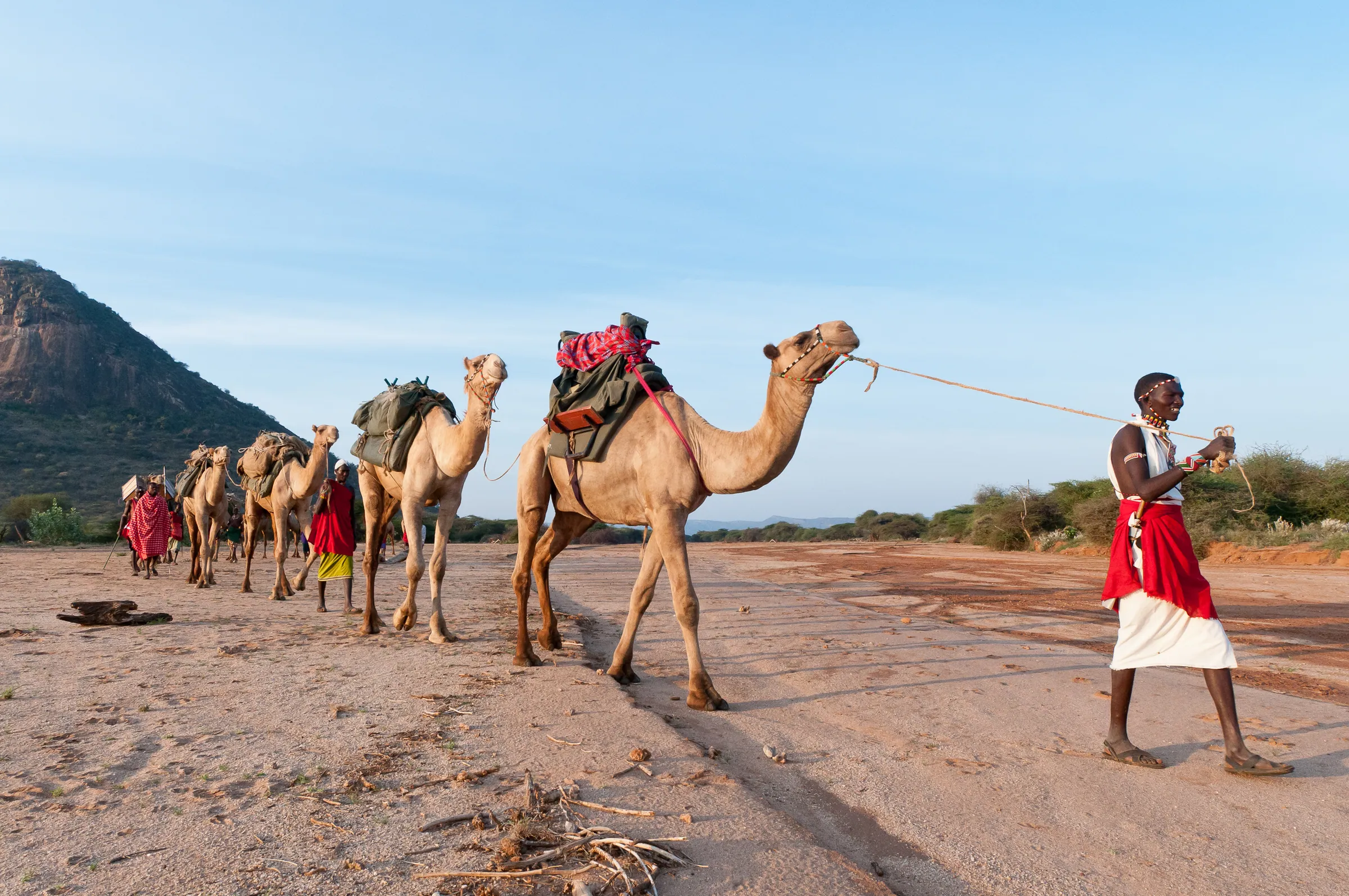
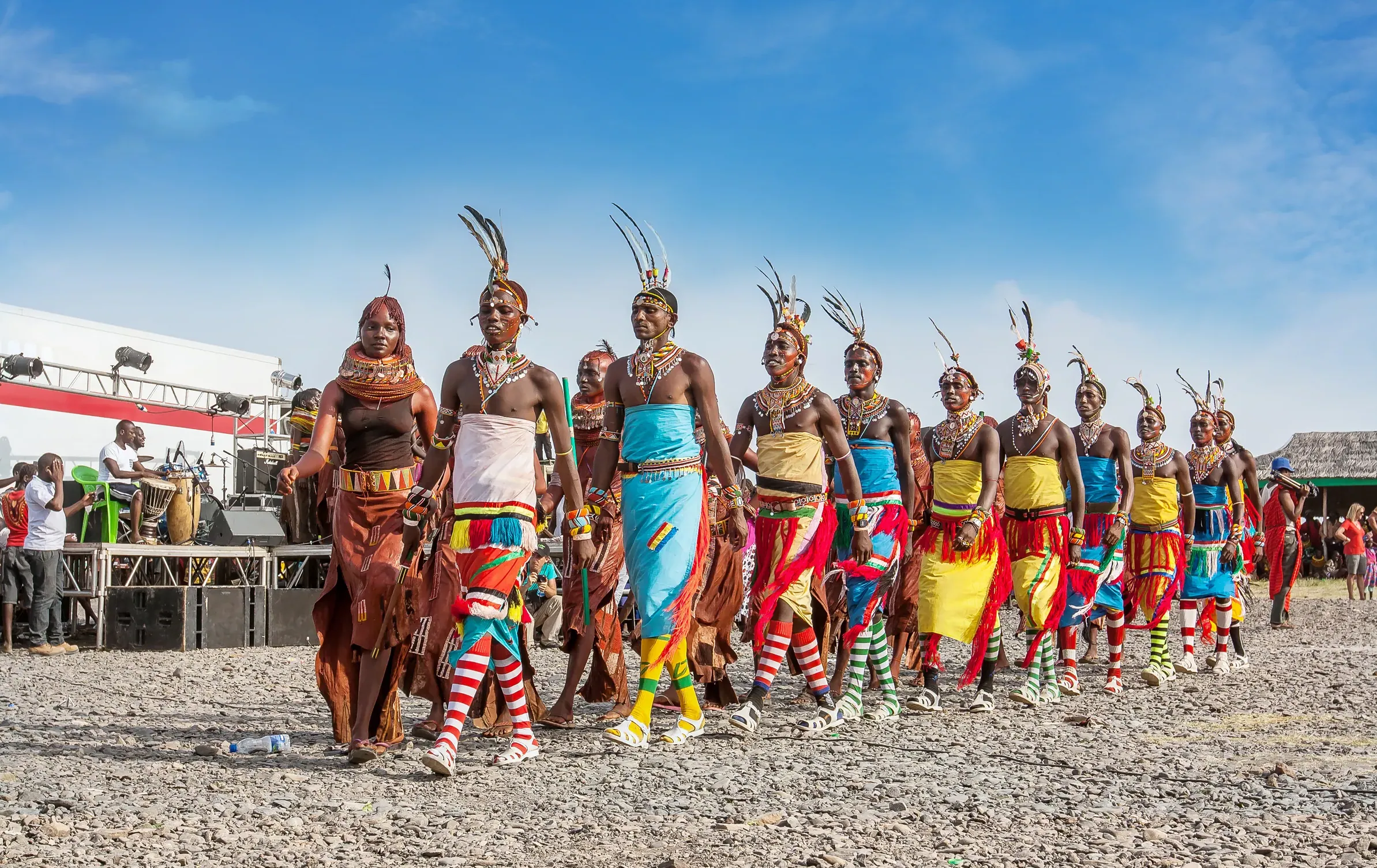
Kenya's north is desert, volcano and lake, and the peoples who live there: Samburu, Rendille, Gabra, Borana, Turkana, El Molo, Daasanach and others. Marsabit, about 550 km north of Nairobi on the paved A2, is a forested volcano rising out of the desert, with crater lakes, mist and big-tusked elephants; we split the drive with a night in Samburu. Lake Turkana, the Jade Sea, is the world's largest desert lake. Loiyangalani, on its south-east shore, is an oasis of springs and doum palms, home to El Molo villages and, in the years it is held, the Lake Turkana Cultural Festival in late May or June. It is about two days from Nairobi by road through Maralal and South Horr, or 2 to 3 hours by charter flight.
Further up the eastern shore, Sibiloi National Park protects Koobi Fora, where fossil hunters have found hominin remains spanning millions of years. It covers about 1,570 square kilometers, is part of the Lake Turkana National Parks World Heritage Site, and is one of the most remote places in the country: we plan it by charter flight, about 2 to 3 hours from Nairobi, with time on the ground at the fossil sites and the petrified forest.
The coast: from Diani to Lamu and Kiunga
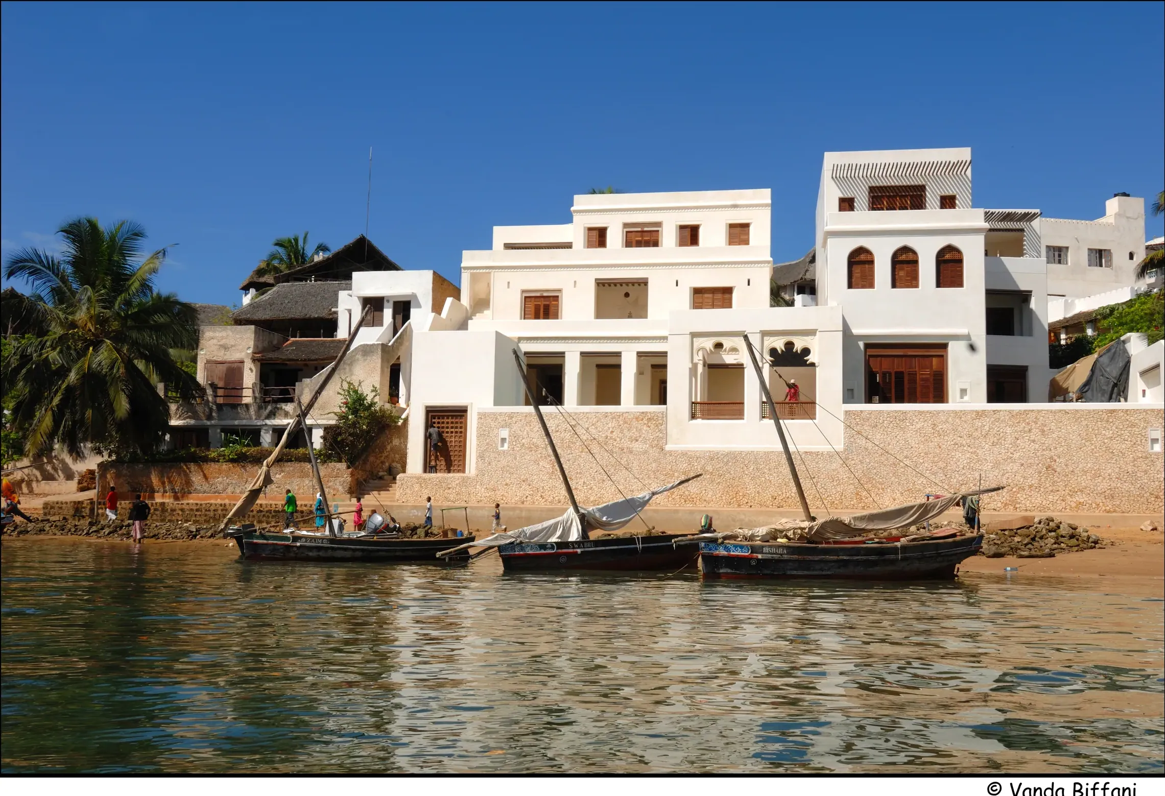
The coast runs from Diani and the Shimba Hills in the south, through Mombasa's Old Town and Fort Jesus, to Kilifi, Watamu and Malindi, where the marine parks, Mida Creek and the Gede ruins are. Further north, Lamu Old Town is the oldest living Swahili town in East Africa and a UNESCO World Heritage Site since 2001, with no cars, carved doors, dhows at sunset and Shela's long beach across the water. Flights land at Manda Airport, about 1 hour 45 minutes from Nairobi, and a boat takes you across the channel.
Beyond Lamu, Kiunga Marine National Reserve protects about 250 square kilometers of reef, seagrass and coral islands, home to dugongs and nesting turtles and the Bajuni fishing villages, with the island of Kiwayu inside it. It is reached by boat or small plane from Lamu, and the calmer, clearer water of about November to March is the usual season for boats, snorkeling and diving. We plan Kiunga as an extension of a Lamu stay.
How we plan remote regions
- 4x4 vehicles with experienced drivers who know the northern and western routes, and long days broken with overnight stops, such as Samburu on the way to Marsabit and Maralal on the way to Lake Turkana
- Local guides in each region, who know the communities, the tracks and the weather, and who can introduce you properly in villages
- Charter flights to remote airstrips, such as Loiyangalani and Sibiloi, where the road would take two days
- Fuel, water and spares planned ahead, because services are far apart in the north
- Buffer days in the plan, because northern roads and rain can slow everything down
- Simple lodges and camps booked well ahead: beds are few in the far north, especially in festival weeks
- Our 24-hour line and flying-doctor evacuation cover on every trip, wherever you are
Before you book, check the current U.S. State Department advisory for Kenya and confirm your travel insurance covers your route. Our safety page covers the practical side of travel anywhere in Kenya: cities, roads, wildlife, health and water.
Somewhere not on this page?
Ask us. Kenya has 47 counties and more places worth seeing than any one page can hold: the Chalbi Desert, Lake Baringo's islands, the Taita Hills, Meru National Park and many more. Tell us where you want to go, or what you want to see, and we will plan the route, the vehicle, the guides and the flights, and tell you honestly how long it needs.